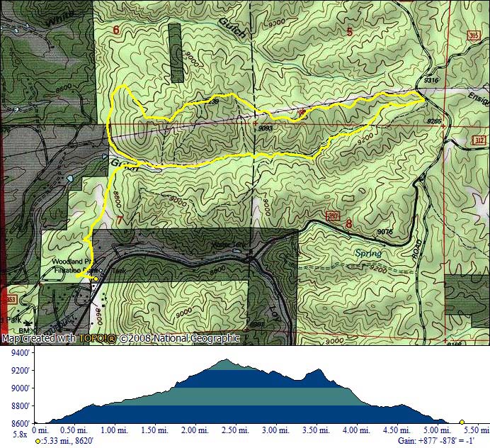
Lovell Gulch
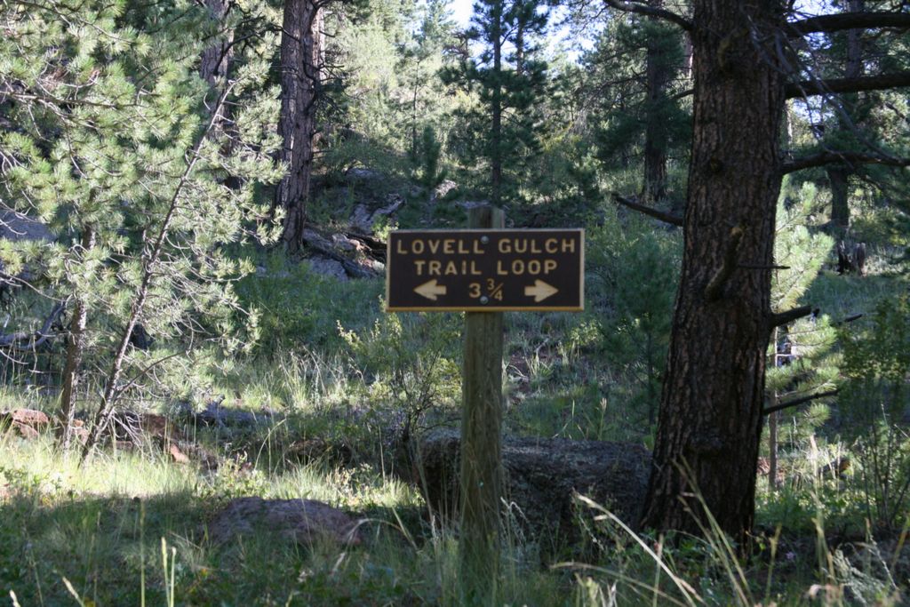
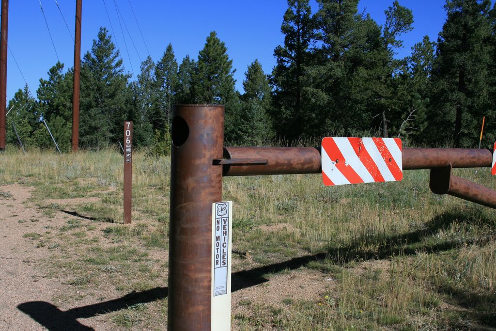
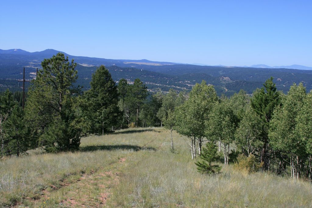
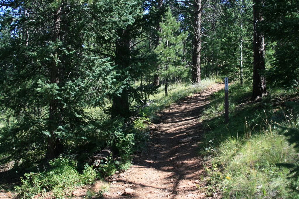
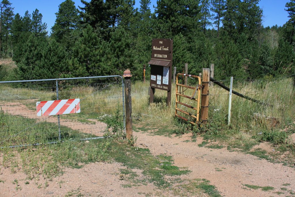
Lovell Gulch (Trail #706) is a pleasant hike through the Pike National Forest, just over 5 miles long. The trailhead is located in the northwest part of Woodland Park. After hiking for about 0.8 miles you will reach the Loop sign. The easier way to hike the trail is in counterclockwise direction so turn right here. This portion will take you through a nice meadow alongside a small creek. You will reach the top of the ridge after about 1.5 miles. There is an alternate trailhead where the trail meets the Rampart Range road.
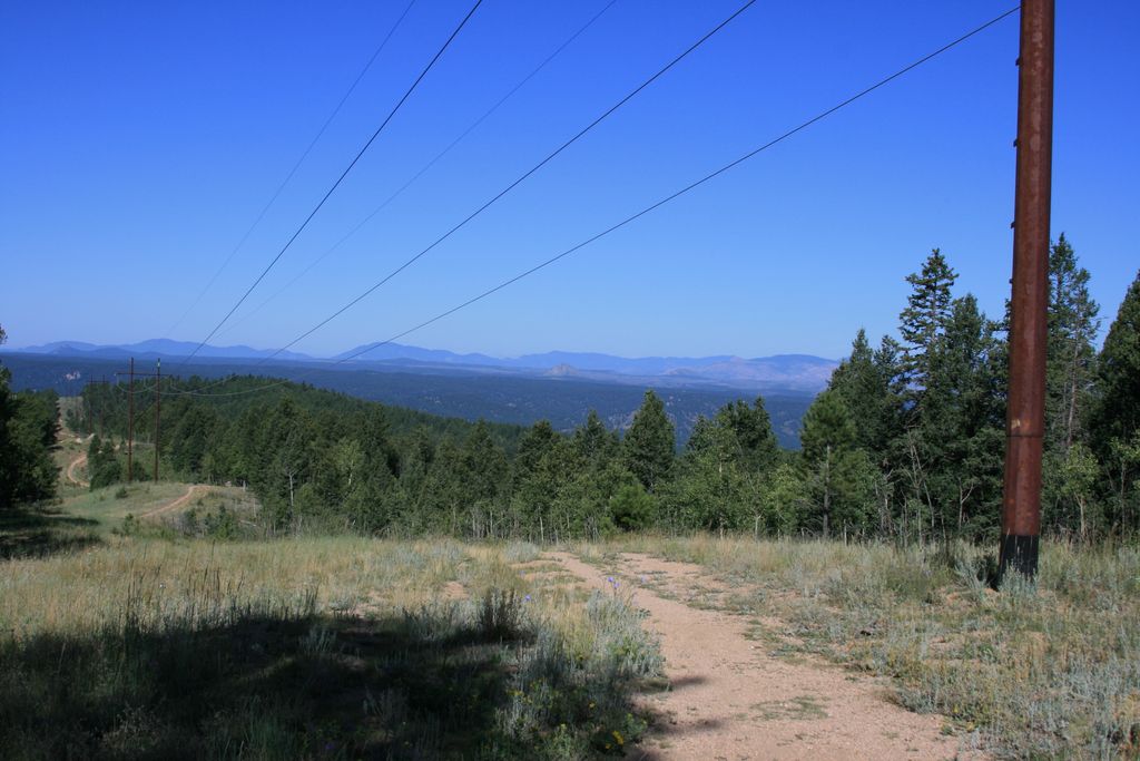
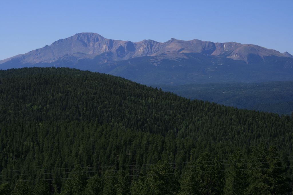
The next section of the trail follows the ridge as it climbs back down. There are great views of Pikes Peak to the south, although unfortunately the trail follows power lines which take away from the scenery. At the end the trail descends steeply and brings you back to the loop junction.
Distance: 5.8 mile loop.
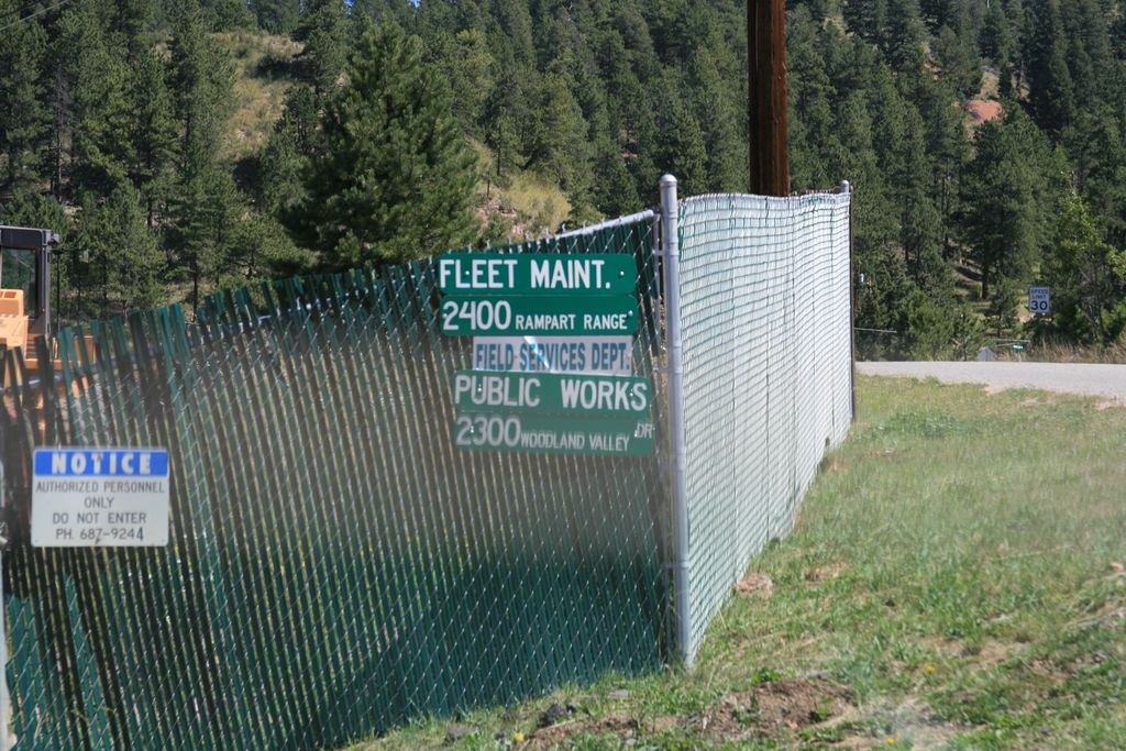
Directions: Take US-24 to Woodland Park. Turn right on Baldwin St right before McDonalds. Drive north and continue on Rampart Range road. The trailhead is a dirt parking lot on the left side right next to the Filtration plant.
Map
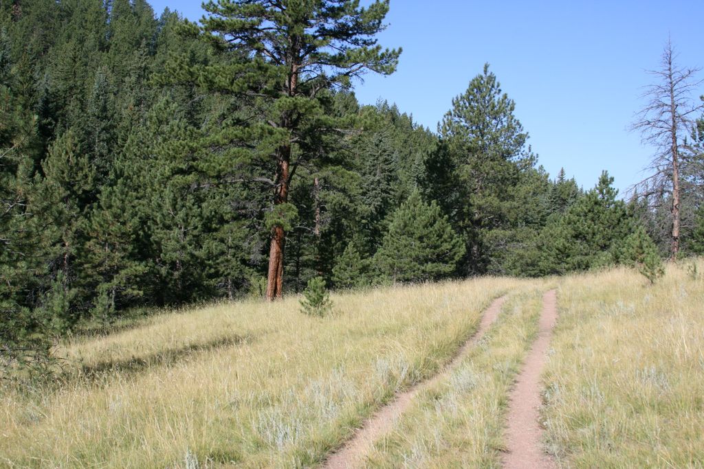
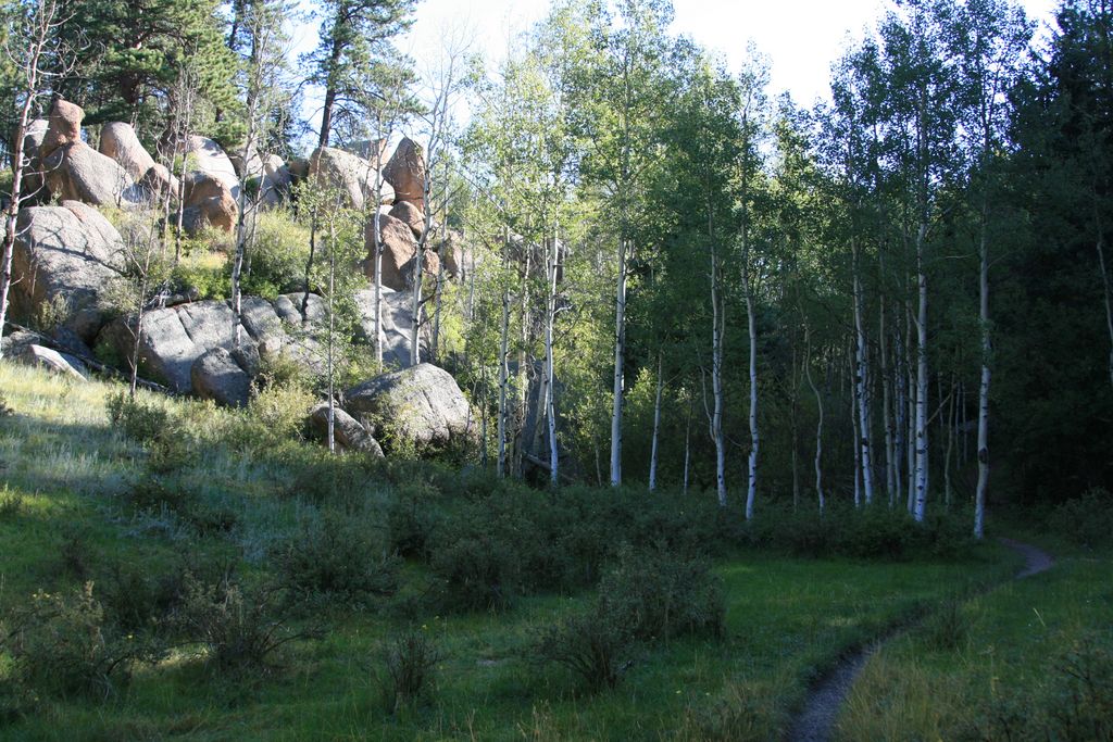
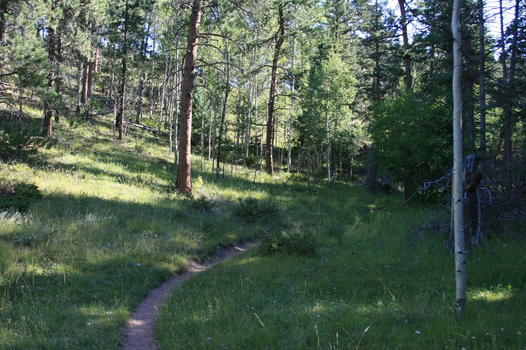
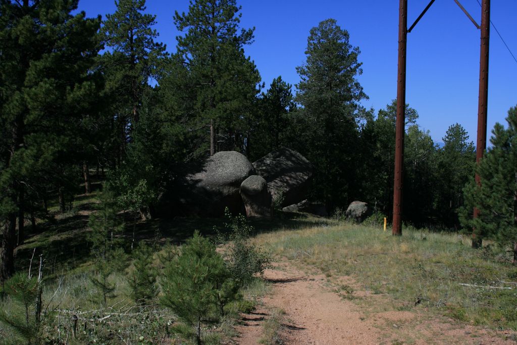
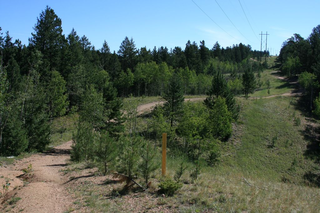
Gallery

Comments: Have you hiked this trail? Please leave your review / comments / updates or photos.
Additional Resources
- GPX File
Universal GPS Format - KMZ File
For Google Earth - Full Screen Map
Trail Map and Photos - Topo Map
Topographic Map - Google Photos
External Image Gallery - Directions
Directions to the trailhead - Parking
Parking Streeview - Geocaches
Nearby Geocaches