Horsethief Falls / Pancake Rocks
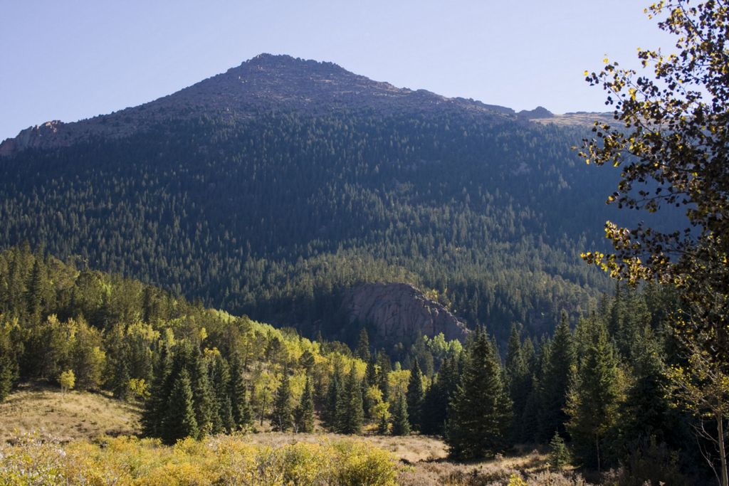
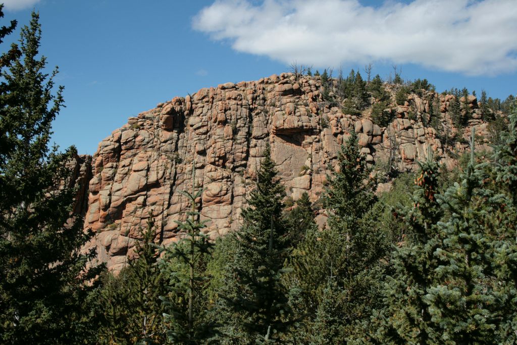
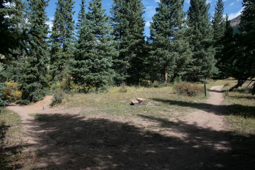
Horsethief park is located off Highway 67, approximately half way between Divide and Cripple Creek. To the west it is dominated by the prominent Sentinel Point (12527 ft). There are three main trails in the area. They all share the same trailhead located at the parking lot next to the closed Little Ike Tunnel.
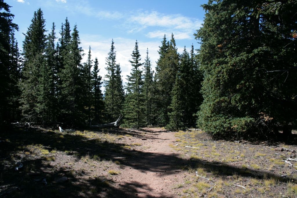
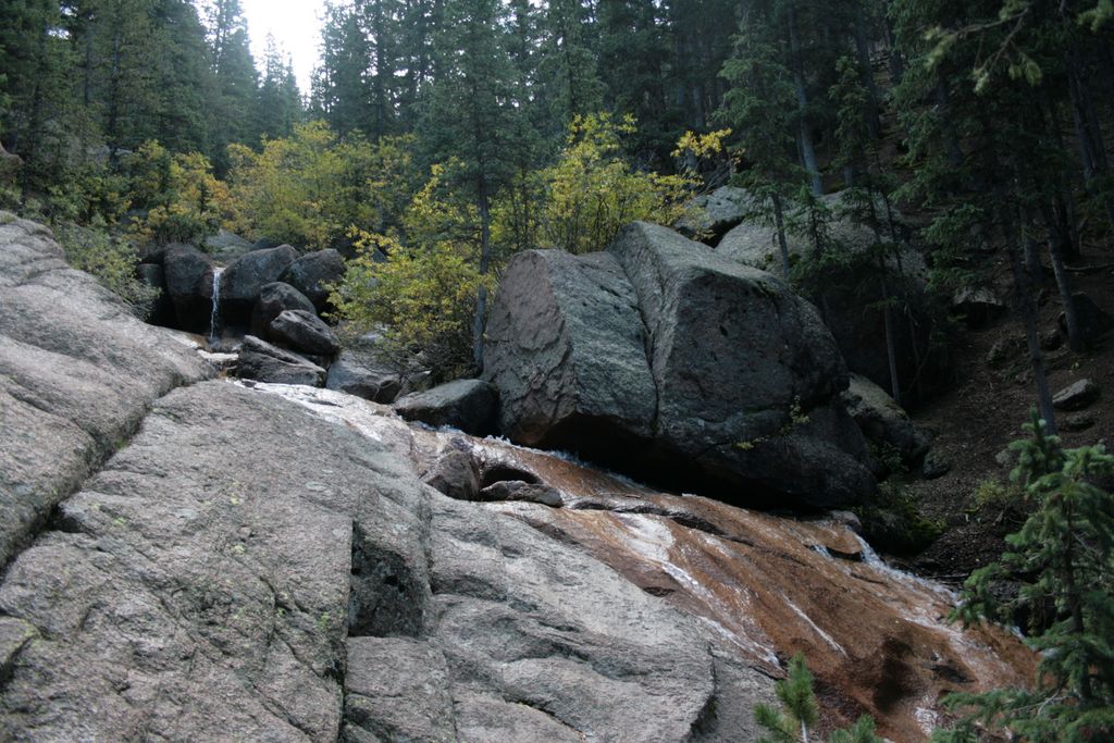
The trail starts up going up steeply for about 0.8 miles. At that point it levels out and you can turn left, crossing the creek into a nice valley with beaver ponds. This trail (#704) is part of Ring the Peak system and continues north. Going straight east you will see a sign pointing to the Pancake Rocks or The Falls. It's only 1/2 miles east to reach Horsethief Falls (#704b).
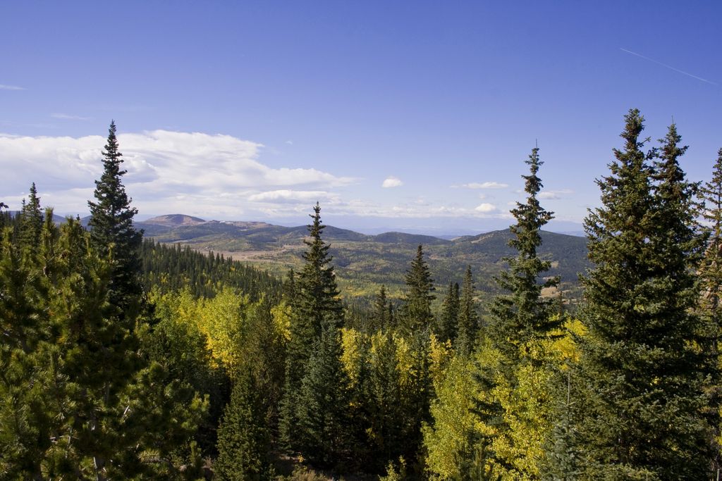
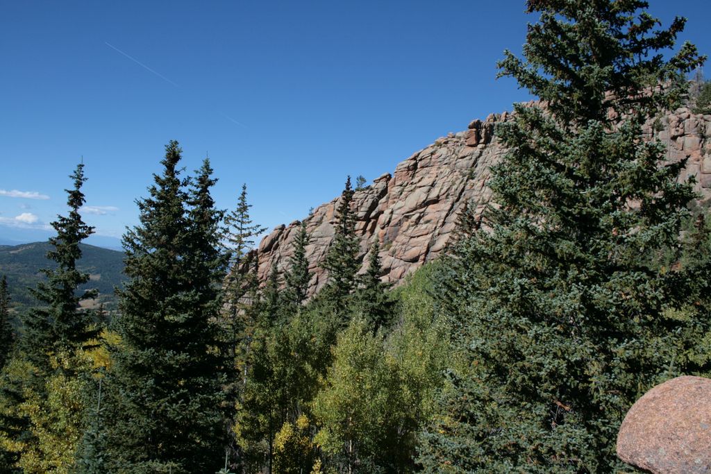
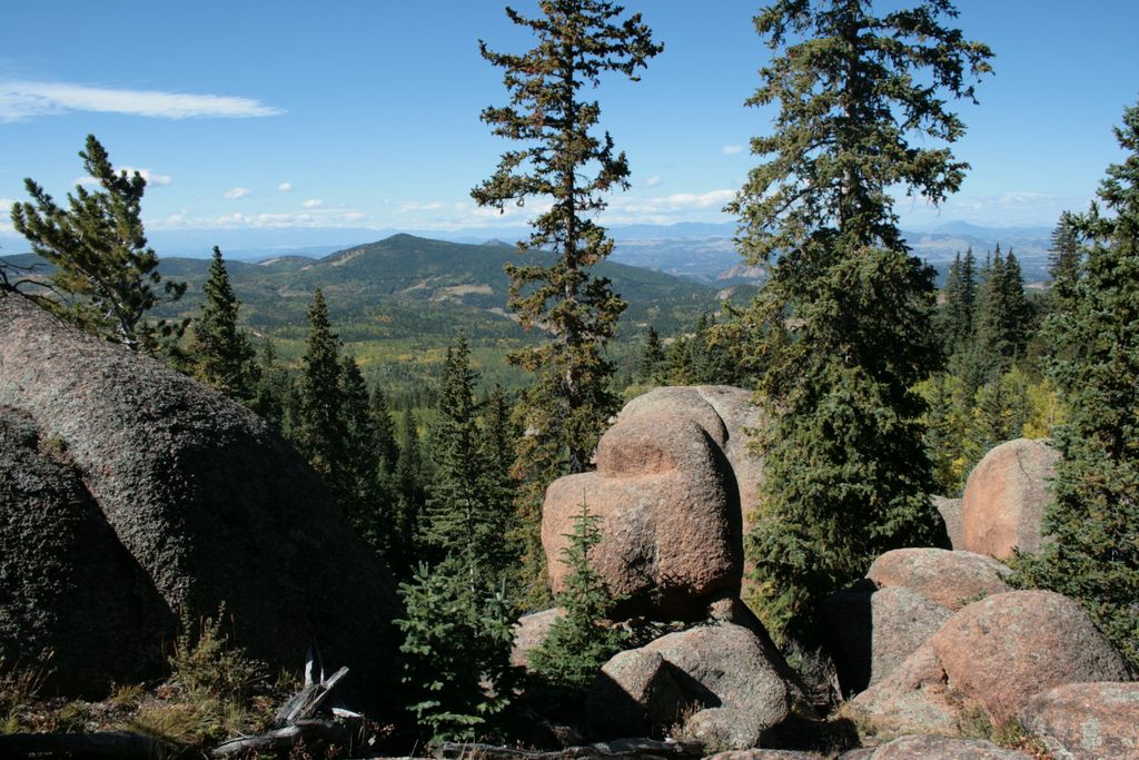
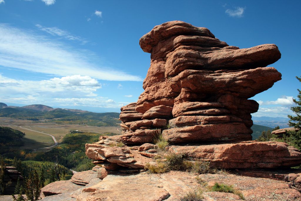
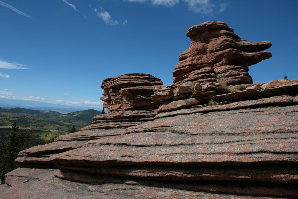
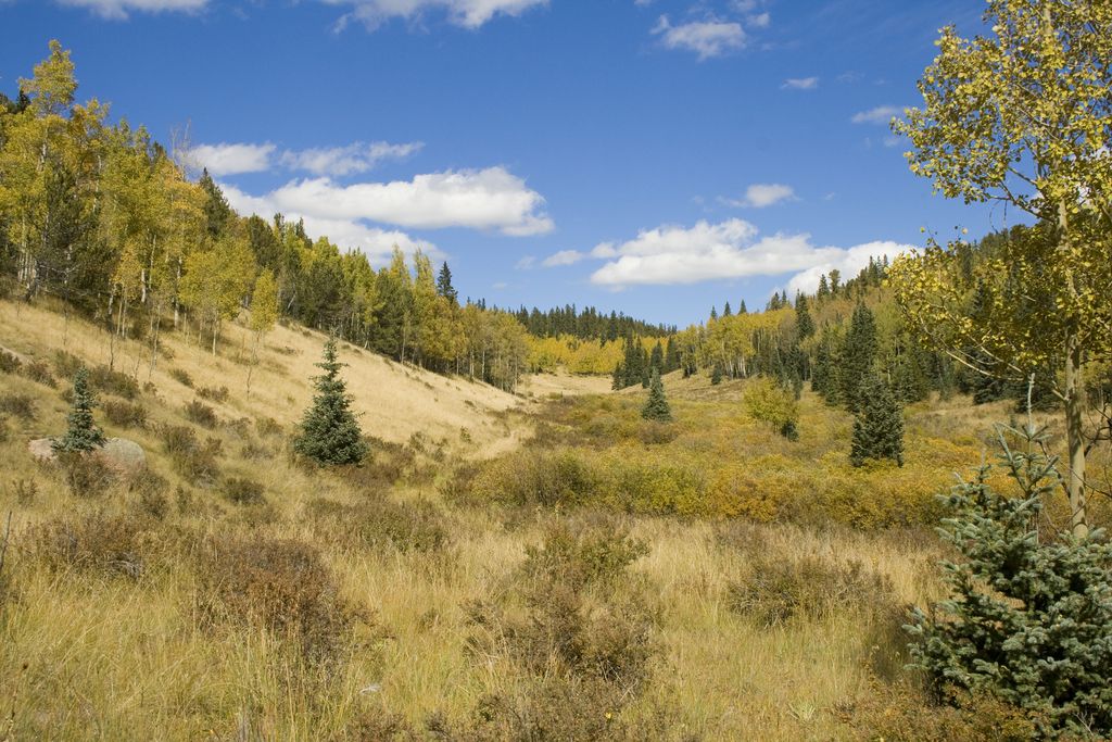
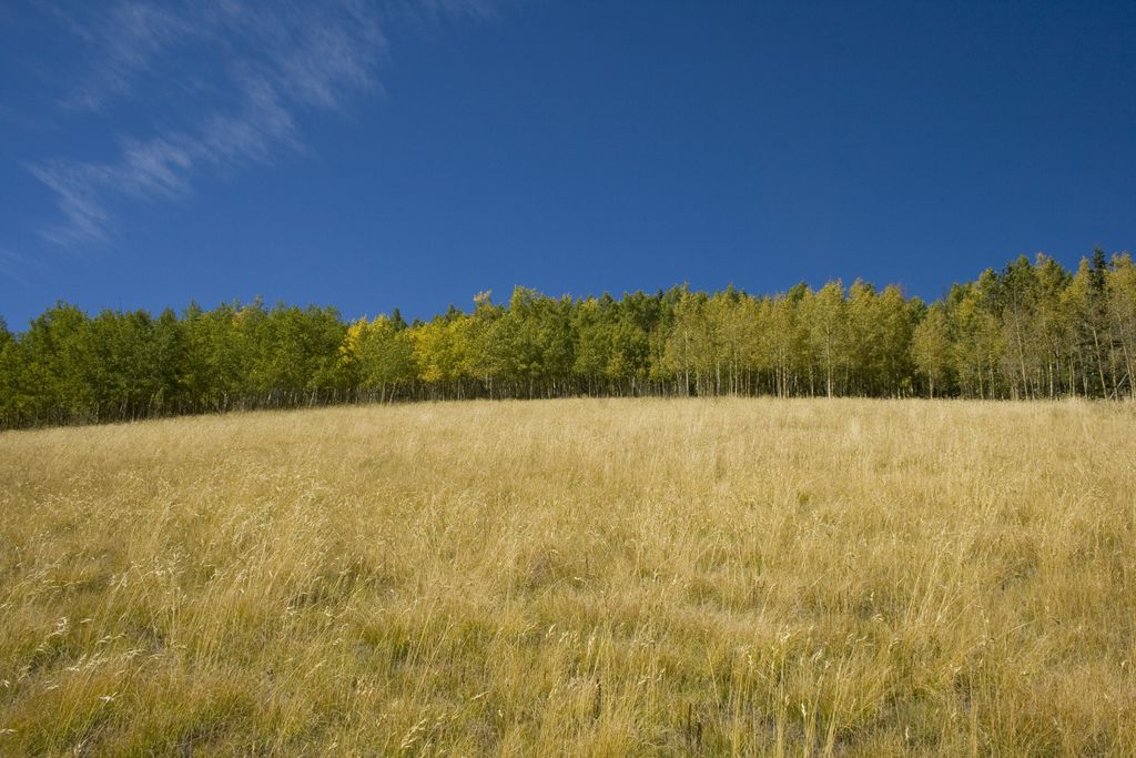
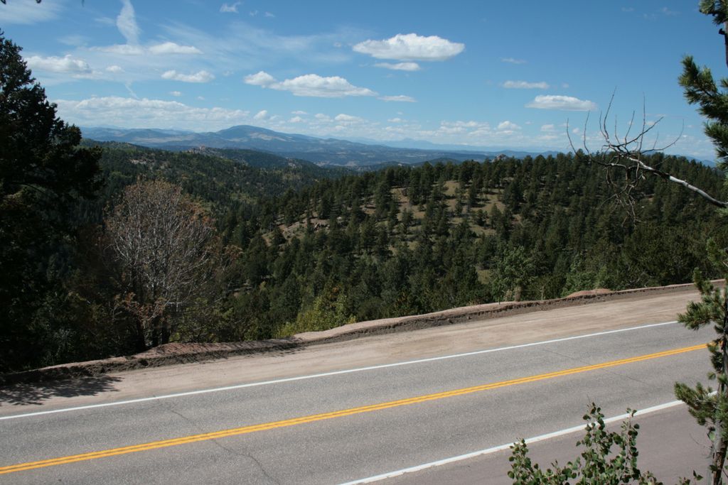
Pancake Rocks trail (#704a) is about 2.2 miles long. At first you will climb up through series of switchbacks and then follow an easy trail until you reach cool rock outcropping at the end. Rocks seem to be stacked on each other hence the name. This trail offers great views south and west towards Cripple creek. The trail does not continue further south and you must turn back and return to the trailhead.
Distance: 6.2 miles round trip to Pancake Rocks / 2.6 miles round trip to Horsethief Falls.
Directions: Take US24 west and turn left at the traffic light in Divide. Drive 9.3 miles until you reach parking lot next to an old tunnel.
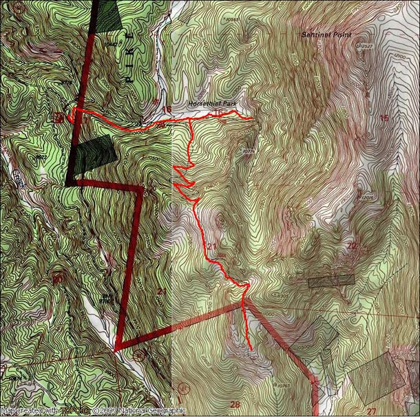
Map
Gallery


Comments: Have you hiked this trail? Please leave your review / comments / updates or photos.
Additional Resources
- GPX File
Universal GPS Format - KMZ File
For Google Earth - Full Screen Map
Trail Map and Photos - Topo Map
Topographic Map - Google Photos
External Image Gallery - Directions
Directions to the trailhead - Geocaches
Nearby Geocaches