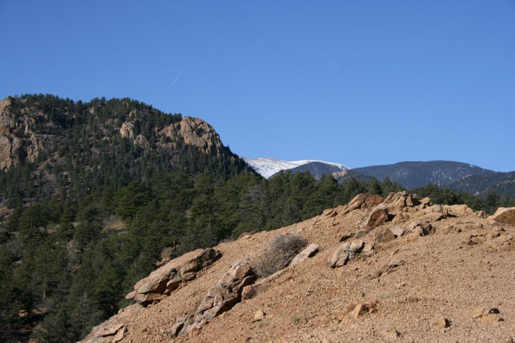
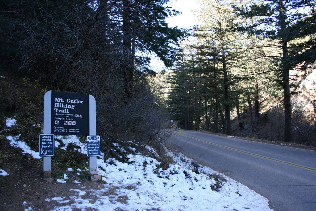
Mount Cutler
Mount Cutler trail is an easy hike located in the Cheyenne Canyon. The trail is well defined and popular with familes. It is a great first trail for anyone new to the area or not used to hiking
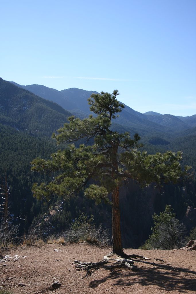
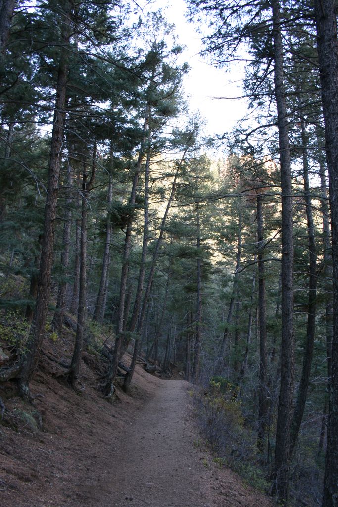
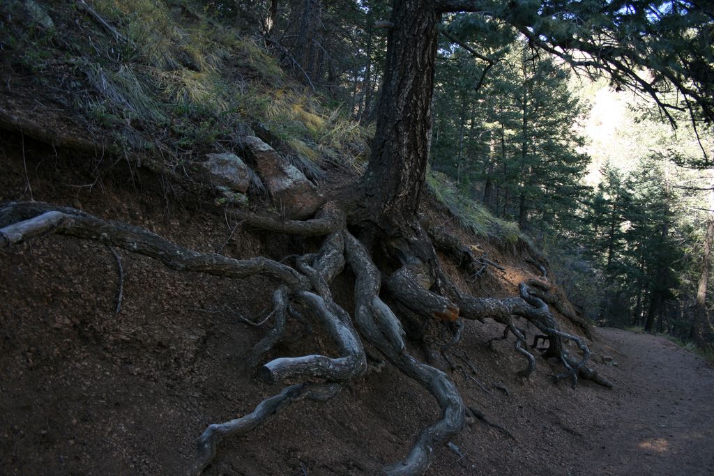
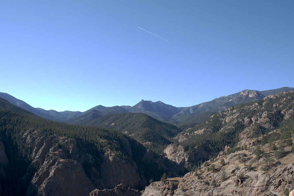
Starting from the trailhead off the canyon road the trail starts climbing through the forest. At the saddle under the summit you will be rewarded with nice view of the Seven Falls. Once you reach the top a small spur to the north leads to the true summit but it is worth continuing a little bit further east to an outcrop with great views of the city.
Distance: 2 miles roundtrip.
Directions: Driving south on I-25 take exit 140 Tejon street to W Cheyenne Blvd. Follow it all the way until you reach the Starsmore Discovery Center where you keep right and enter the canyon. Parking lot is on the left side after 1.5 miles.
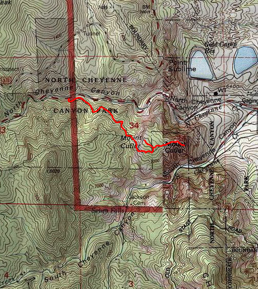
Map
Gallery


Comments: Have you hiked this trail? Please leave your review / comments / updates or photos.
Additional Resources
- GPX File
Universal GPS Format - KMZ File
For Google Earth - Full Screen Map
Trail Map and Photos - Topo Map
Topographic Map - Google Photos
External Image Gallery - Directions
Directions to the trailhead - Geocaches
Nearby Geocaches