The Crags Trail
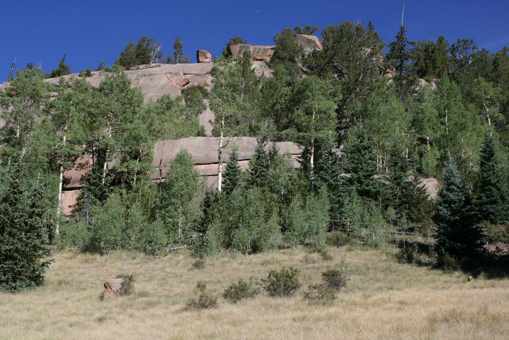
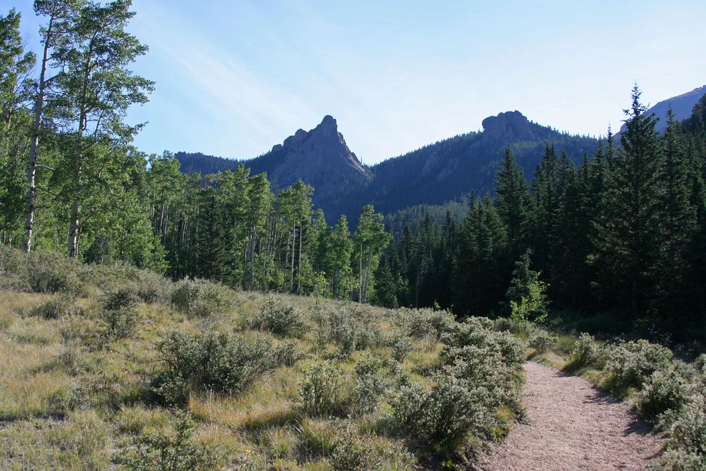
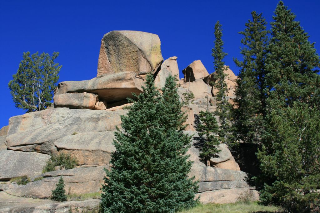
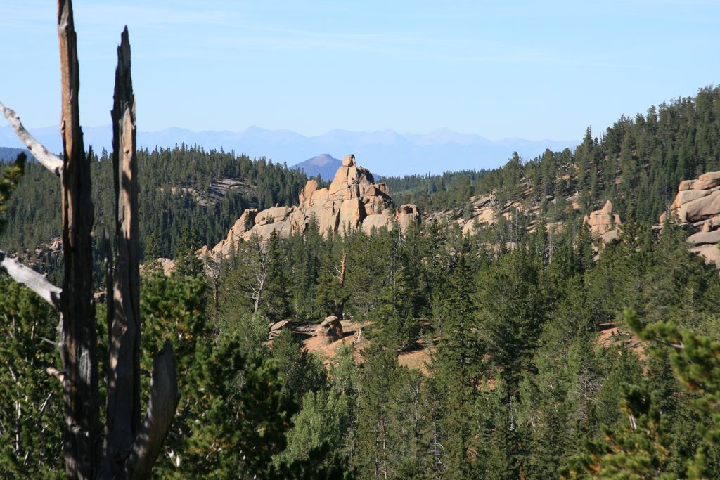
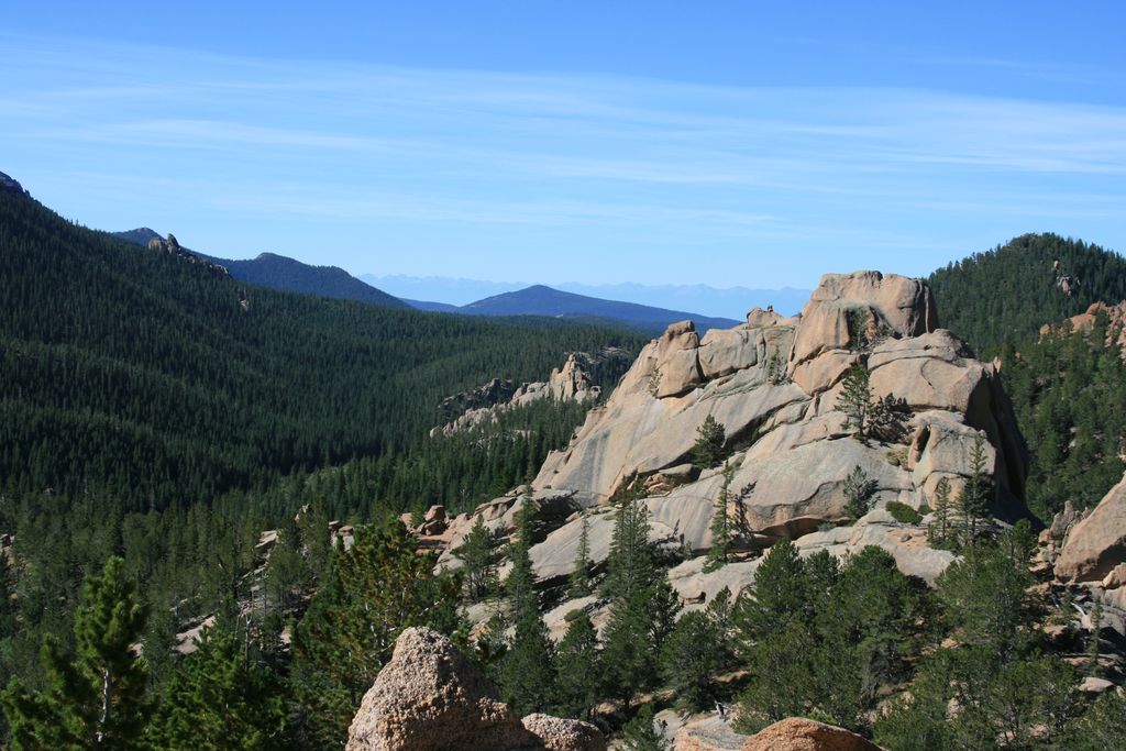
The Crags are rock formations located south of Divide, facing the northwest slope of Pikes Peak. It's a beautiful hike popular with families.
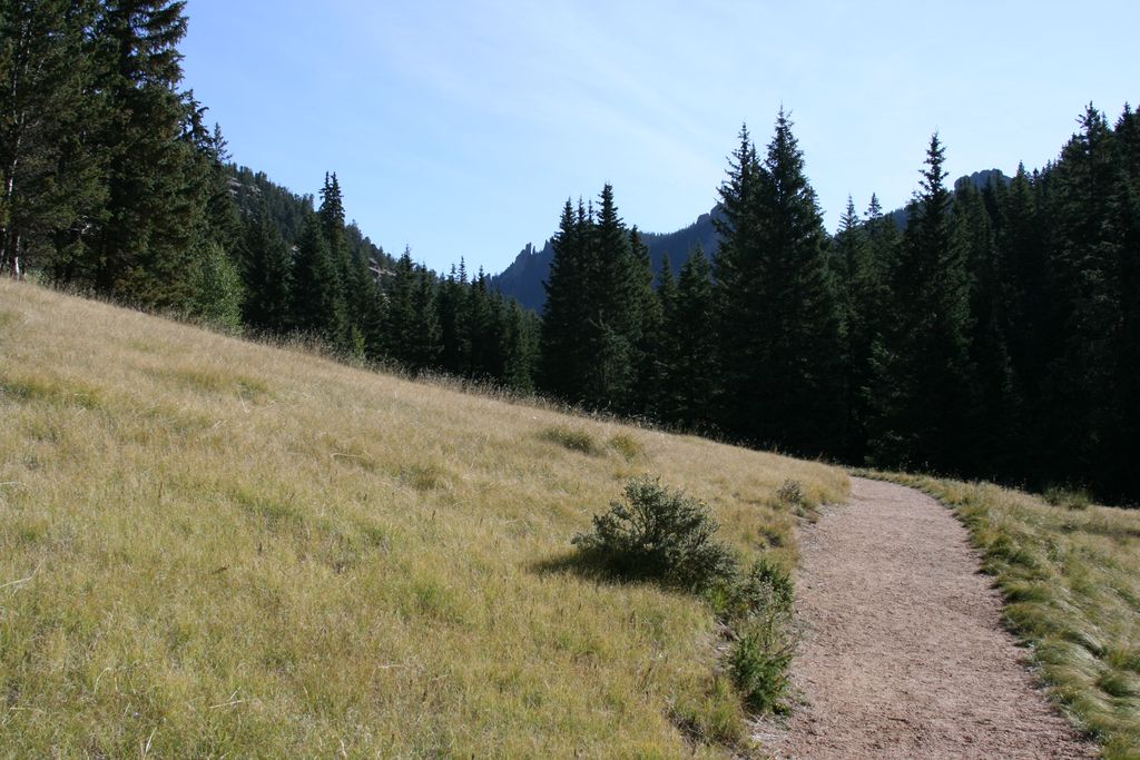
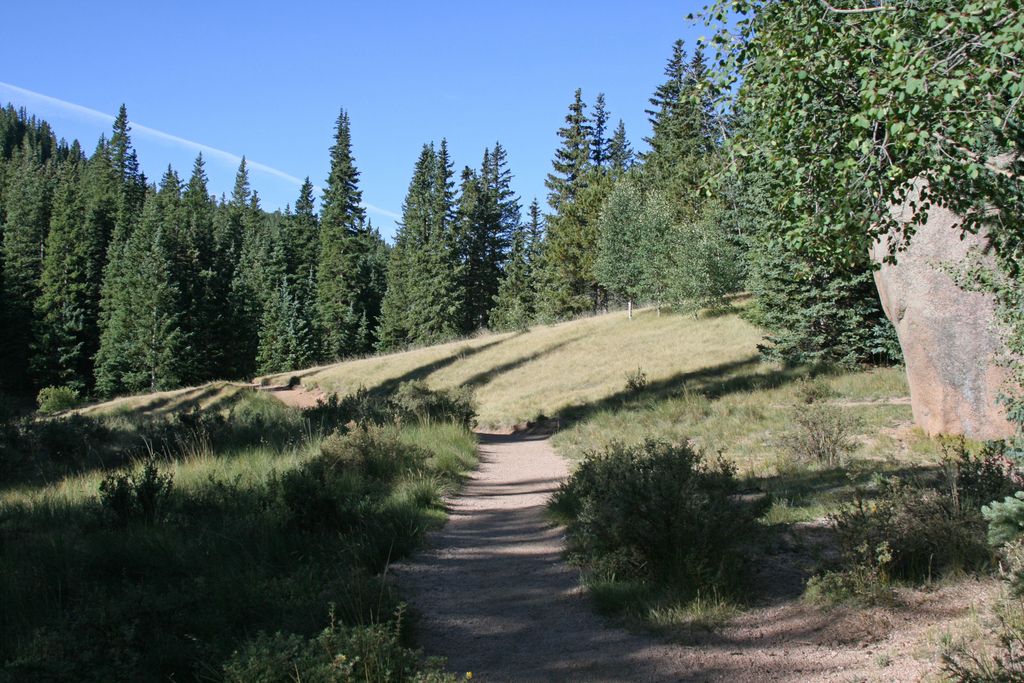
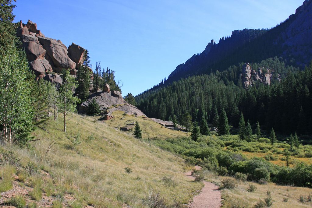
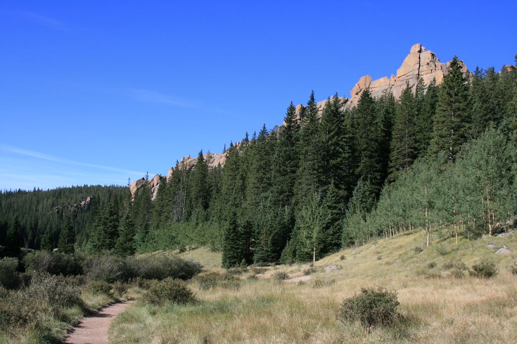
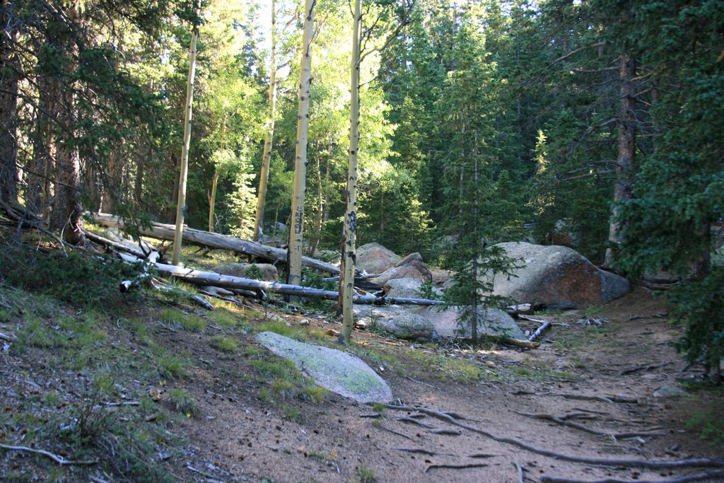
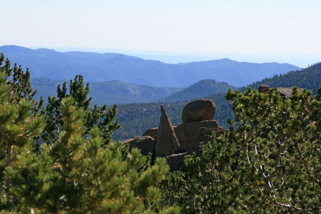
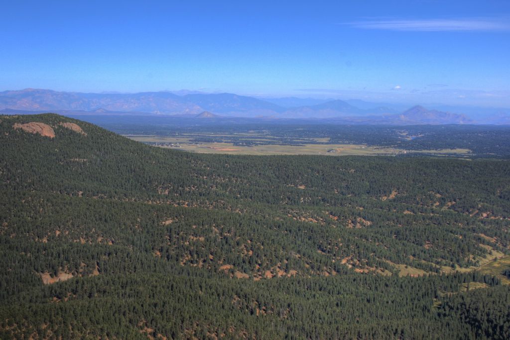
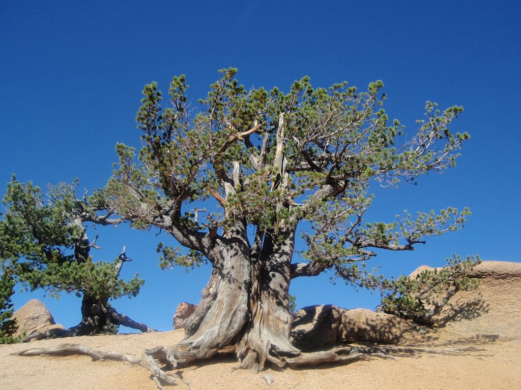
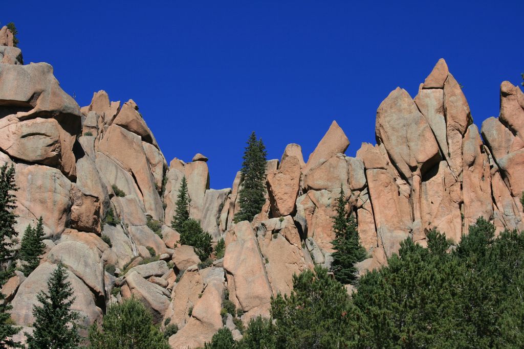
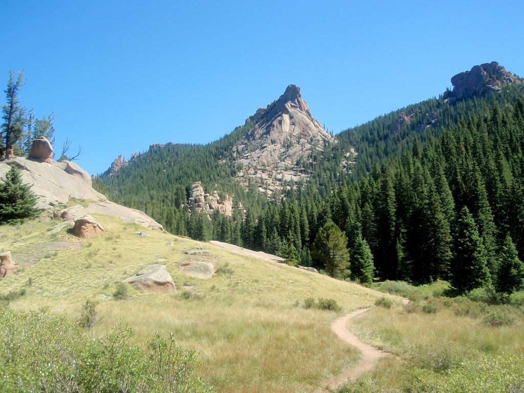
Start at the new trailhead heading east through a couple of steep switchbacks. Soon you will reach the sign for trail #664A pointing the the right. This trail goes up to Pikes Peak via Devil's Playground, keep left following trail #664. Shortly after, the trail enters a meadow with numerous interesting rock formations on the left. The trail is pretty level and it's an easy walk through this incredible area. The final push is in the forest again, climbing until you reach the top of Crags. Enjoy great views of Pikes Peak and mountains to the north and west. Be sure to check out the ancient Bristle Cone Pines on the summit.
Distance: 5.1 miles round trip
Directions: Take US-24 west and turn left at traffic light in Divide. Drive south on US-67 for about 4 miles. Turn left to CR-62 right after you pass the entrance to Mueller State park on the right. Drive 3 miles on the dirt road and you will see the new trailhead parking lot on the right side. Crags campground located 1/4 of a mile further down the road is no longer used as the official trailhead.
Map
Gallery


Comments: Have you hiked this trail? Please leave your review / comments / updates or photos.
Additional Resources
- GPX File
Universal GPS Format - KMZ File
For Google Earth - Full Screen Map
Trail Map and Photos - Topo Map
Topographic Map - Google Photos
External Image Gallery - Directions
Directions to the trailhead - Geocaches
Nearby Geocaches