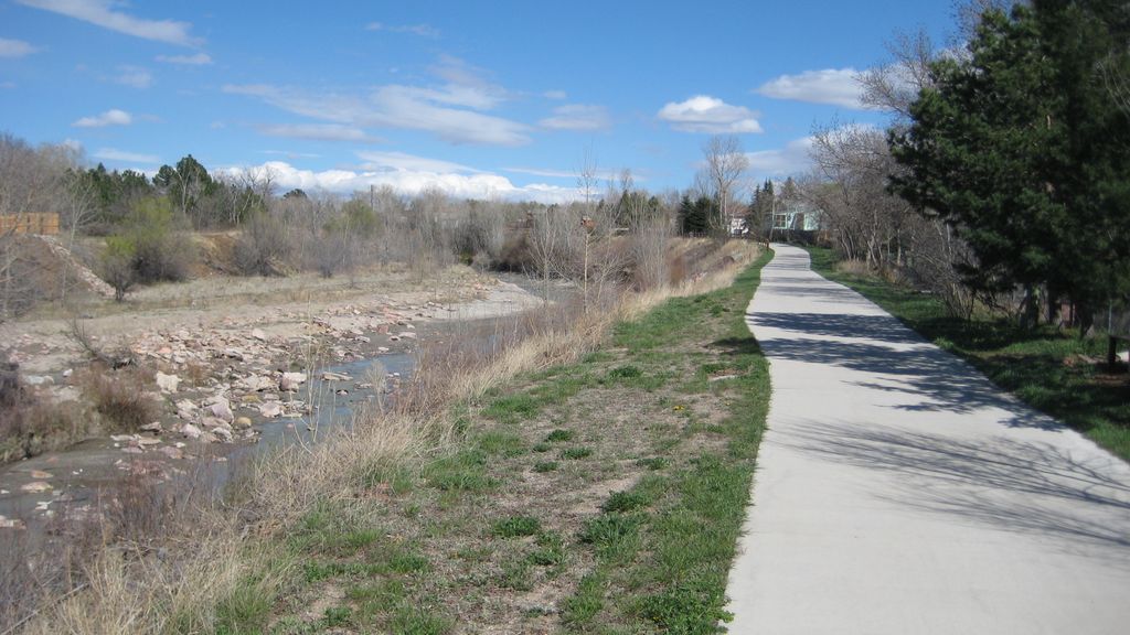
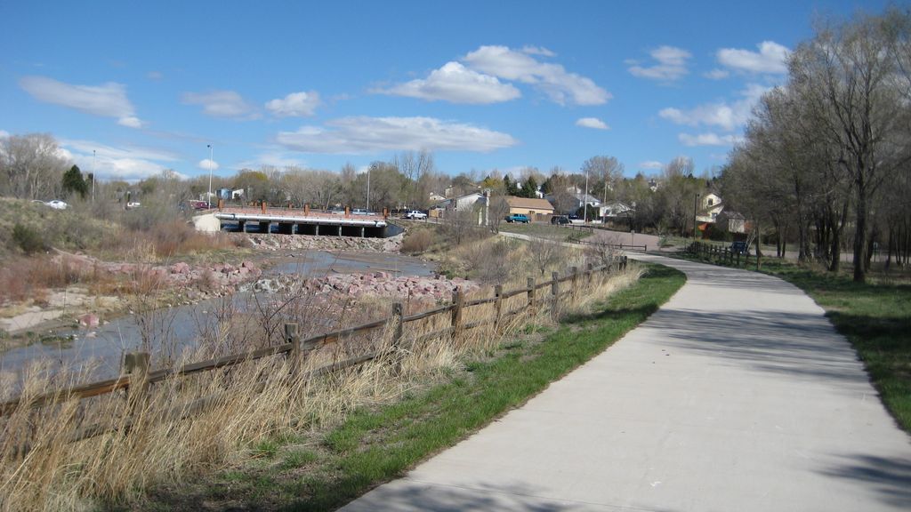
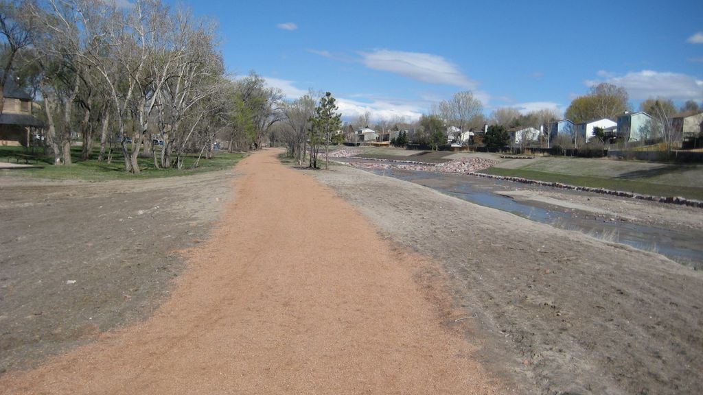
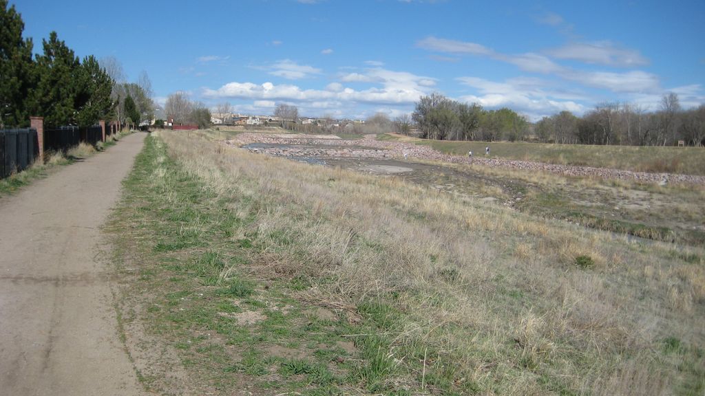
Cottonwood Creek Trail
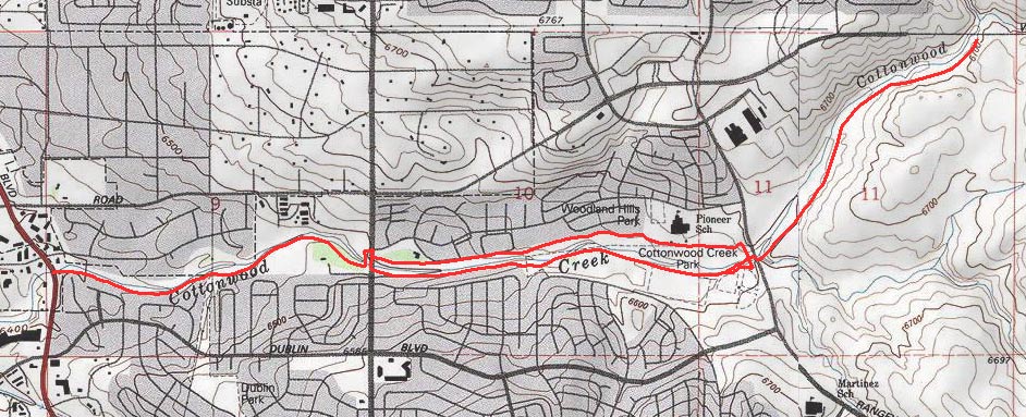
Cottonwood Creek trail is an urban biking / hiking trail that runs along a creek from Academy Blvd to the intersection of Woodman and Austin Bluffs Parkway.
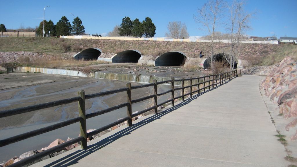
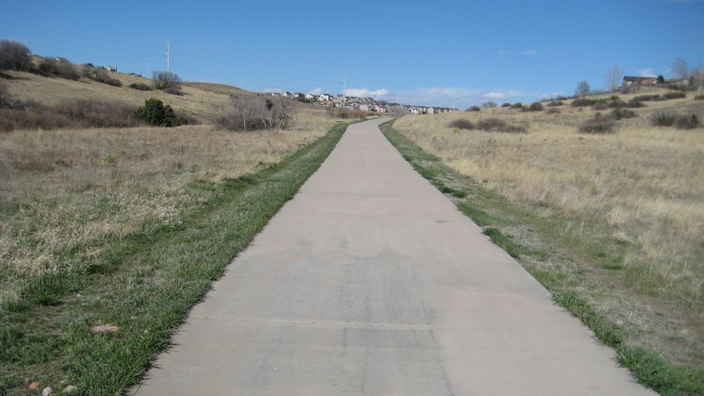
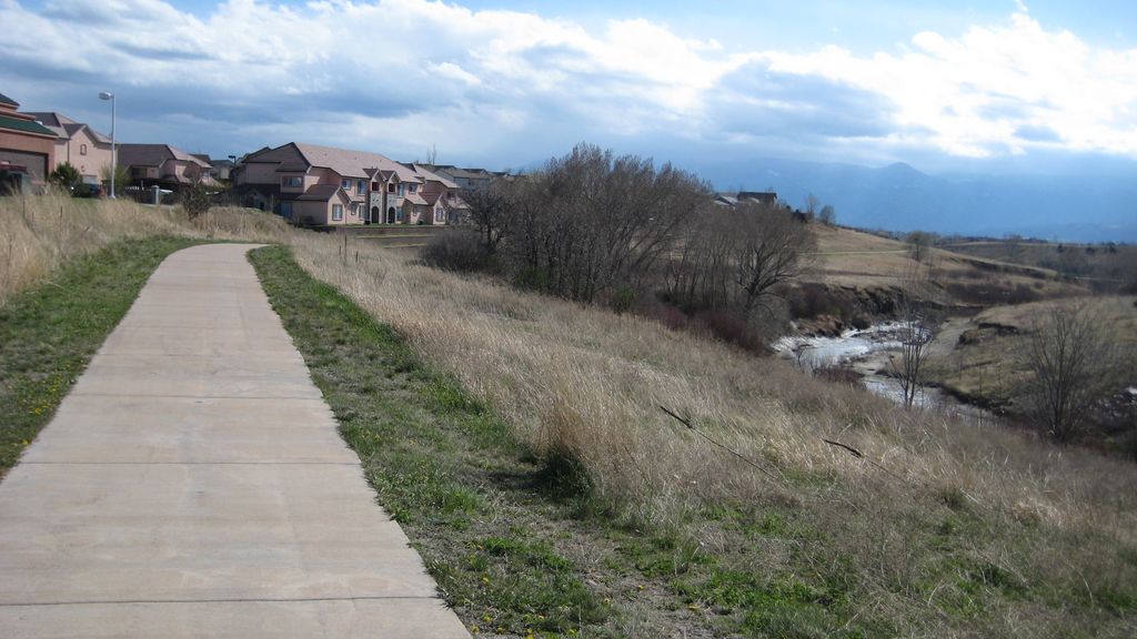
The first section up to Union Blvd is paved and about one mile long. Use traffic lights at Woodland Hills Dr to cross Union. From this point the trail runs on both sides of the creek. Once you reach Cottonwood Creek Park the trail passes under Rangewood Dr in a tunnel. Ride the paved surface all the way to Austin Bluffs Parkway.
Distance: 3.5 miles.
Directions: There are several possible trailheads. One possibility is to park at Cottonwood Recreation Center on the corner of Dublin Blvd and Rangewood Dr.
Map
Gallery


Comments: Have you hiked this trail? Please leave your review / comments / updates or photos.
Additional Resources
- GPX File
Universal GPS Format - KMZ File
For Google Earth - Full Screen Map
Trail Map and Photos - Topo Map
Topographic Map - Google Photos
External Image Gallery - Directions
Directions to the trailhead - Geocaches
Nearby Geocaches