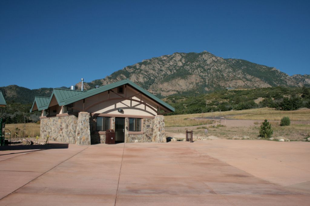
Cheyenne Mountain State Park
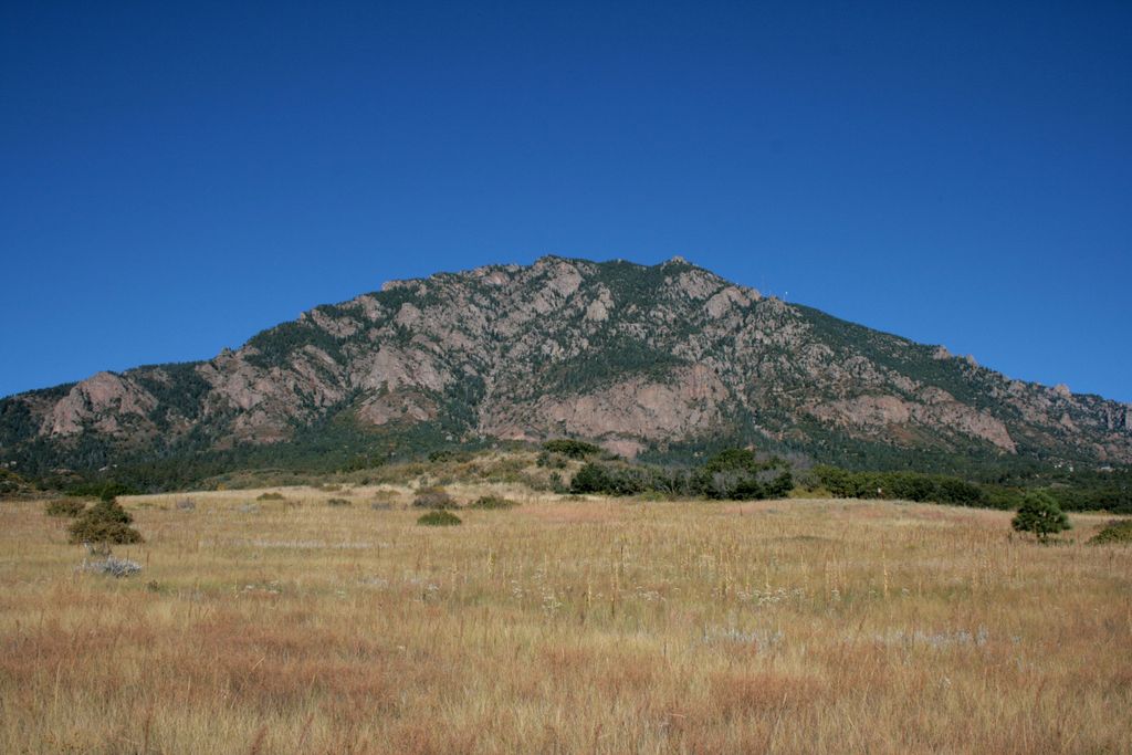
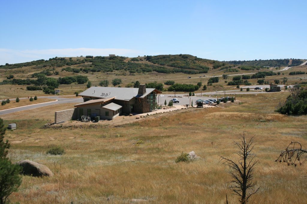
Cheyenne Mountain State Park is a new addition to Colorado's state park system. It is located under the massive Cheyenne Mountain offering about 20 miles of trails of various difficulty. Campsites are also available for overnight stay.
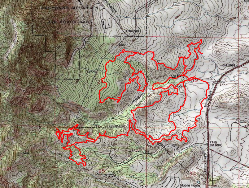
List of trails:
Blackmer Loop Trail
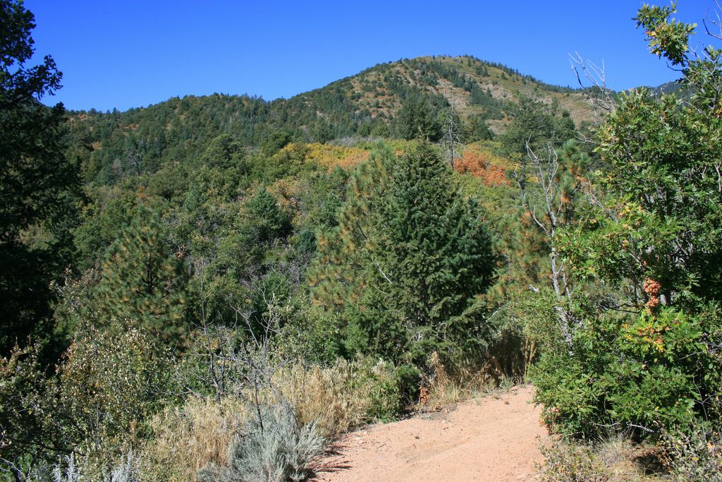
3.52 miles of moderate trail with moderate elevation gain. A park staff favorite because of great pines and rock gardens along the way. Visitors can even view a stunning pine growing out from a boulder.
Boulder Run Trail
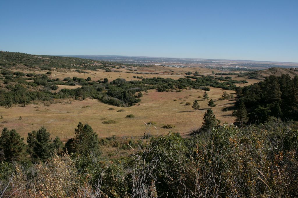
A one-mile moderate trail with some elevation gain offering a nice view of park open space and the Limekiln Valley, an active wildlife corridor.
Cougars Shadow Trail
A 0.85-mile, moderate, thick forest and nicely shaded single-track trail ideal for mountain bikes.
Coyote Run Trail
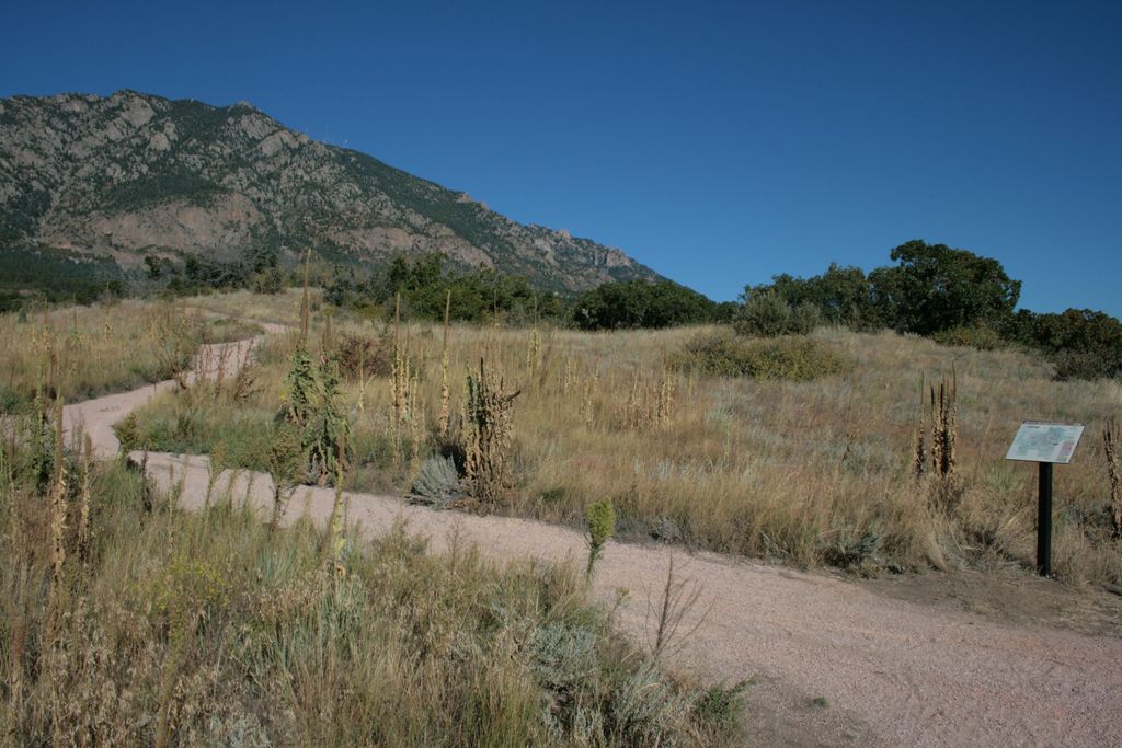
A 1.37 miles of easy to moderate, gentle sloping interpretive trail that’s close to the visitor's center. Great for a learn-as-you-go experience, a great horned owl has been spotted here. Let the visitor’s center know if he appears on your journey.
Sundance:
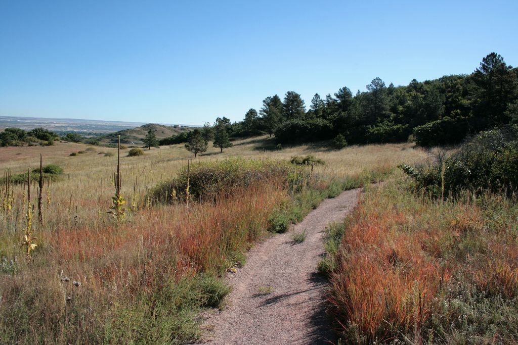
A 3.29 easy, mostly flat trail with minor elevation gain. Great for fitness training, the trail runs through a prairie dog town, so watch out; these cute critters are watching too.
Talon:
2.64 miles moderate trail with increasing elevation gain, it begins as
a prairie hike and traverses through the scrub oak to the montane.
Vegetation and views change along the way, so there's no chance to
get bored, only inspired.
Talon North:
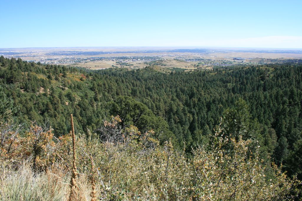
1.60 miles moderate trail of some elevation gain with an amazing overlook.
This makes a great "AHA" moment after a nice hike or ride.
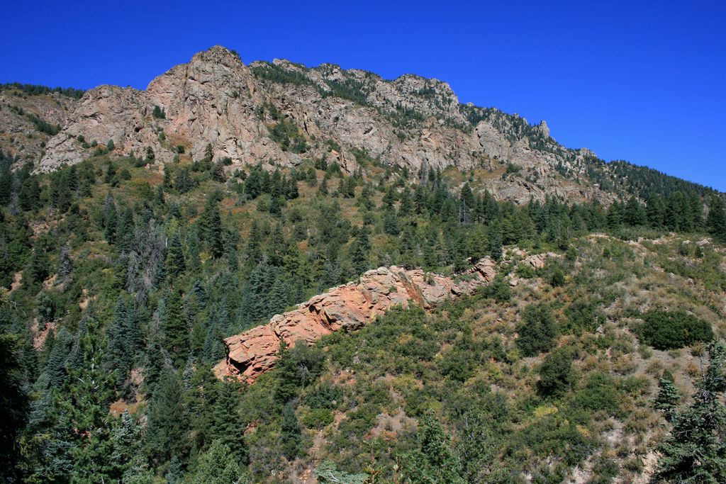
Talon South:
0.98-mile moderate trail with a gentle slope among lush vegetation
and the trail bisects a large rock fin before looping south through interesting
terrain.
Zook Loop:
1.03 easy, mostly flat trail that connects with several trails.
It leads to "The Rock Garden," which is a great place to sit and enjoy the
wonders of nature."
(Trail descriptions from the official website)
Fees:$7 per vehicle
Directions: Driving south on I-25 take exit 140. Drive south on Highway 115 for 5.5 miles. Turn right on JL Ranch Heights Rd.
Map
Gallery


Comments: Have you hiked this trail? Please leave your review / comments / updates or photos.
Additional Resources
- GPX File
Universal GPS Format - KMZ File
For Google Earth - Full Screen Map
Trail Map and Photos - Topo Map
Topographic Map - Google Photos
External Image Gallery - Directions
Directions to the trailhead - Geocaches
Nearby Geocaches