
Waldo Canyon
Legacy Page: Waldo Canyon trail was, as the name suggests, in the very center of the Waldo Canyon Fire in Summer 2012. It has been officially closed and there is no word on the current conditions or possible reopening of the trail. It's a great loss for local community since it used to be one of the most popular trails in the area.
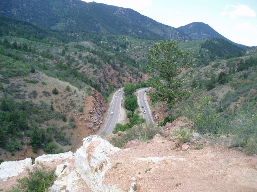
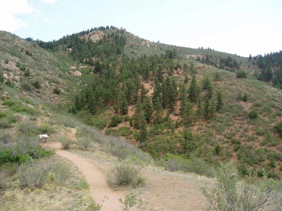
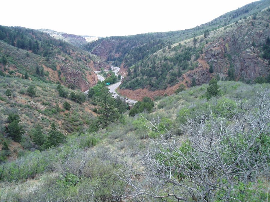
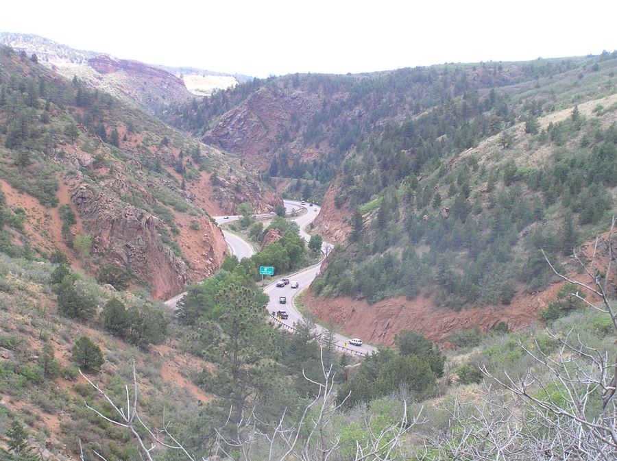
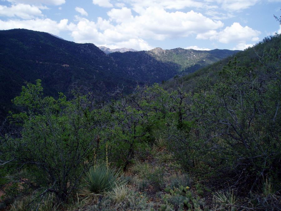
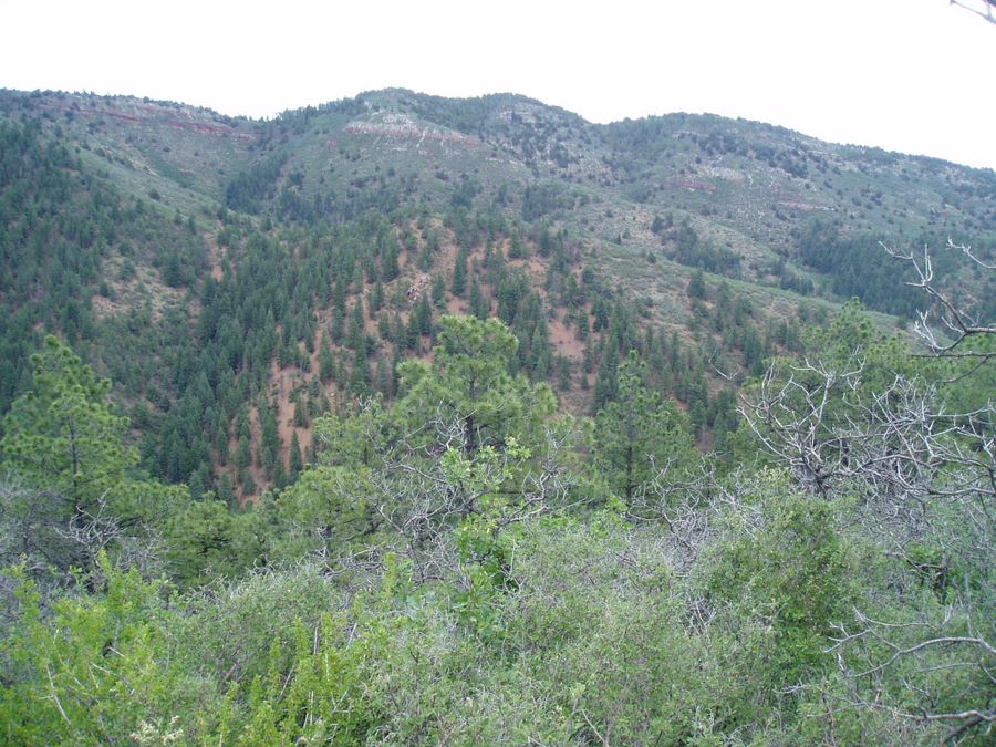
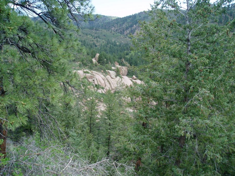
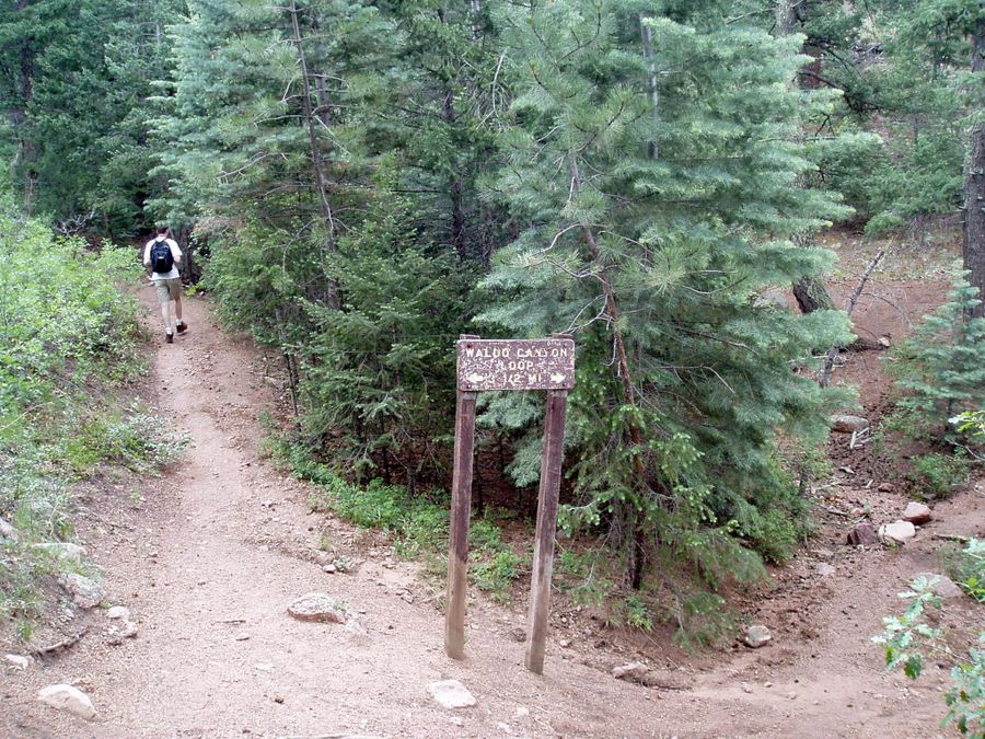
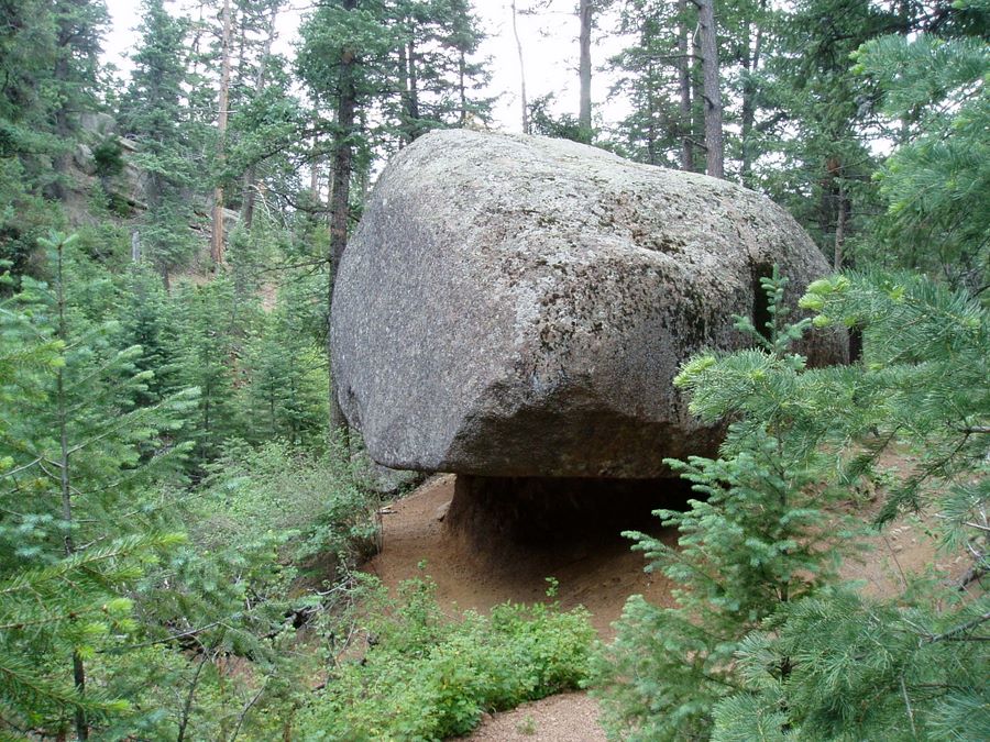
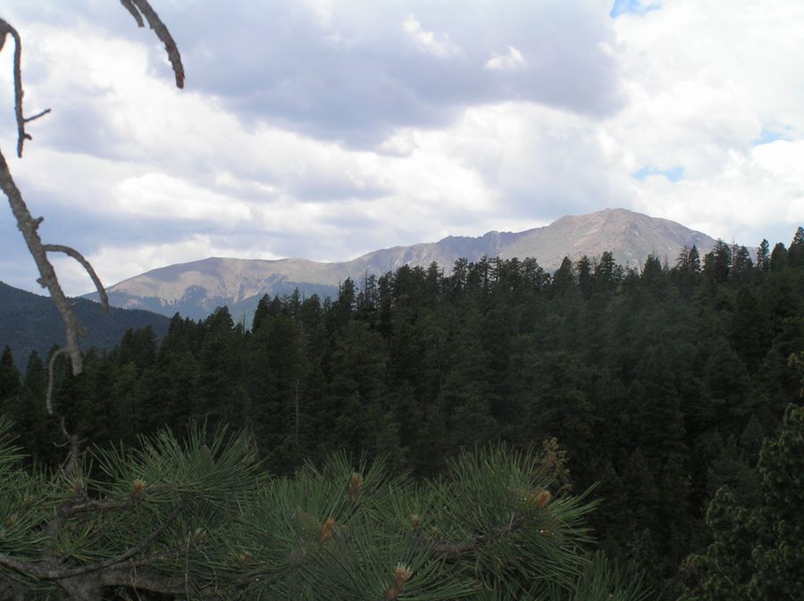
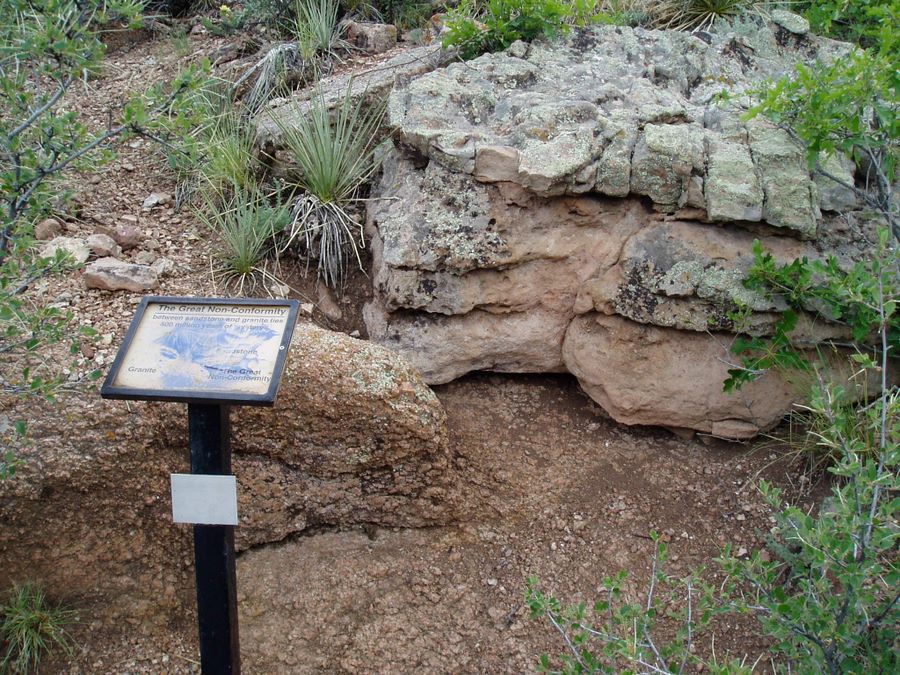
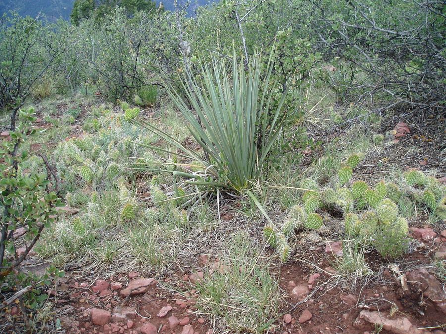
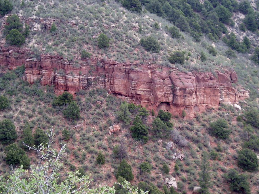
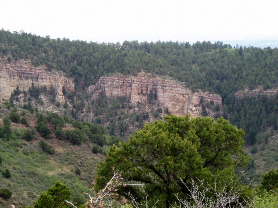
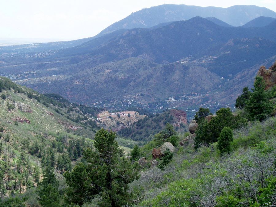
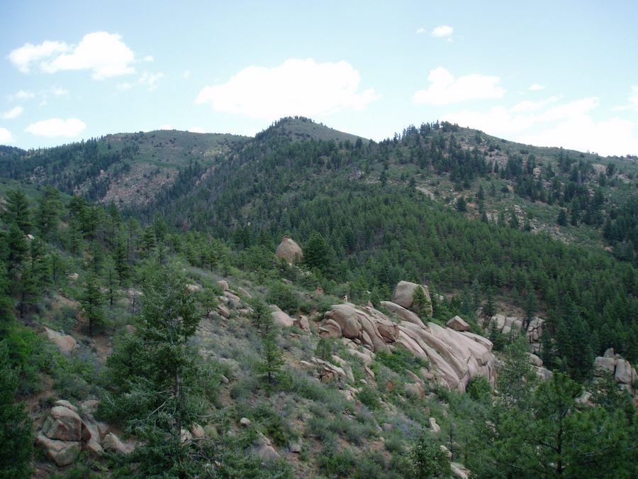
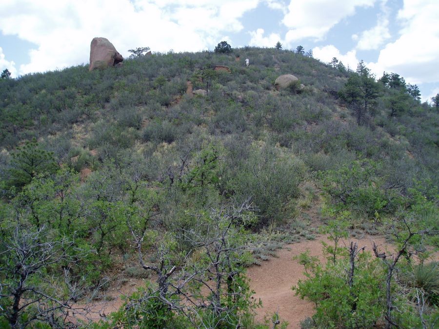
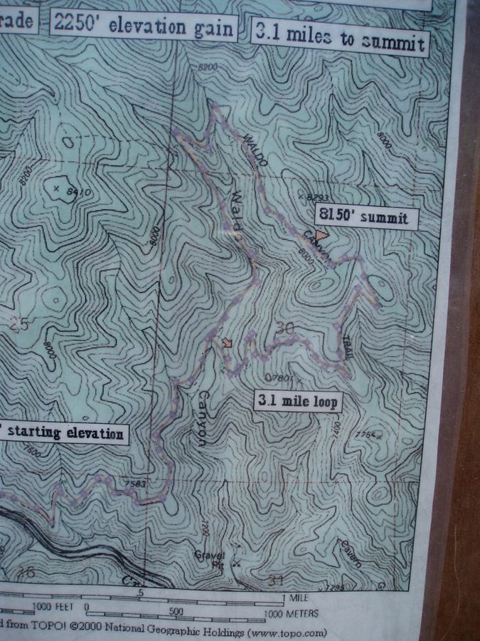
Waldo Canyon is a very popular trail west of Manitou Springs. The trail (#640) climbs up from the parking lot and slowly gains elevation along US 24 highway. After a while it turns north and enters the canyon. Once you reach fork in the trail you can decide which way you want to do the loop around the canyon. I prefer avoiding uphill switchbacks and start clockwise to the left. First half of the loop leads through nice forest with not much of a view. Once you start coming back around the trail starts gaining elevation and you will be treated to great views of Pikes Peak. Before you finish the loop you will have to walk down some pretty steep switchbacks.
Length: 6.9 mile loop
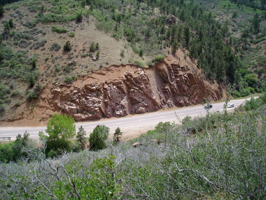
Directions: Take US24 driving west past Manitou Springs. The parking lot for trailhead will be on the right side about 2 miles out of Manitou. Parking lot can fill up quickly on weekends.
(Switch between Satellite,Terrain, Topo or 3D Google Earth maps)

(Universal GPS file format)
(Trail track and photos)
(USGS 7.5' quads PDF)
(Online photo album)
Enter your start address: