St.Mary's Falls
St.Mary's Falls (Trail #624) is an intermediate hike in the Cheyenne Canyon Area. The trailhead is located just above Helen Hunt Falls at the intersection of High Drive and Gold Camp Road.
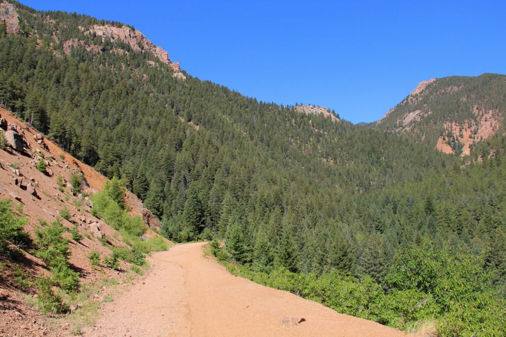
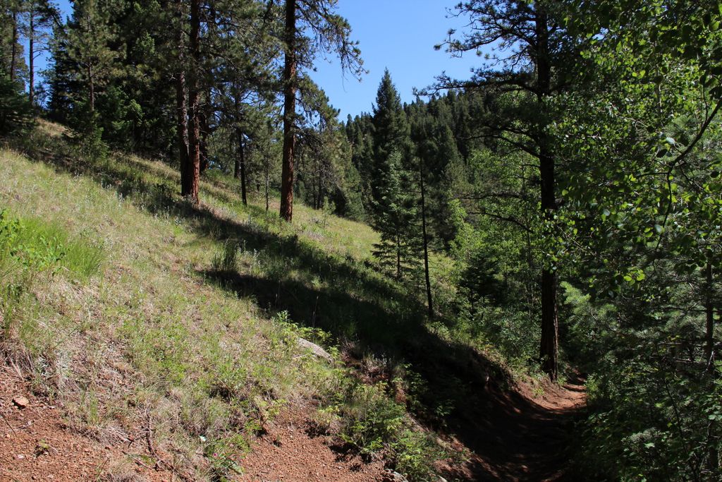
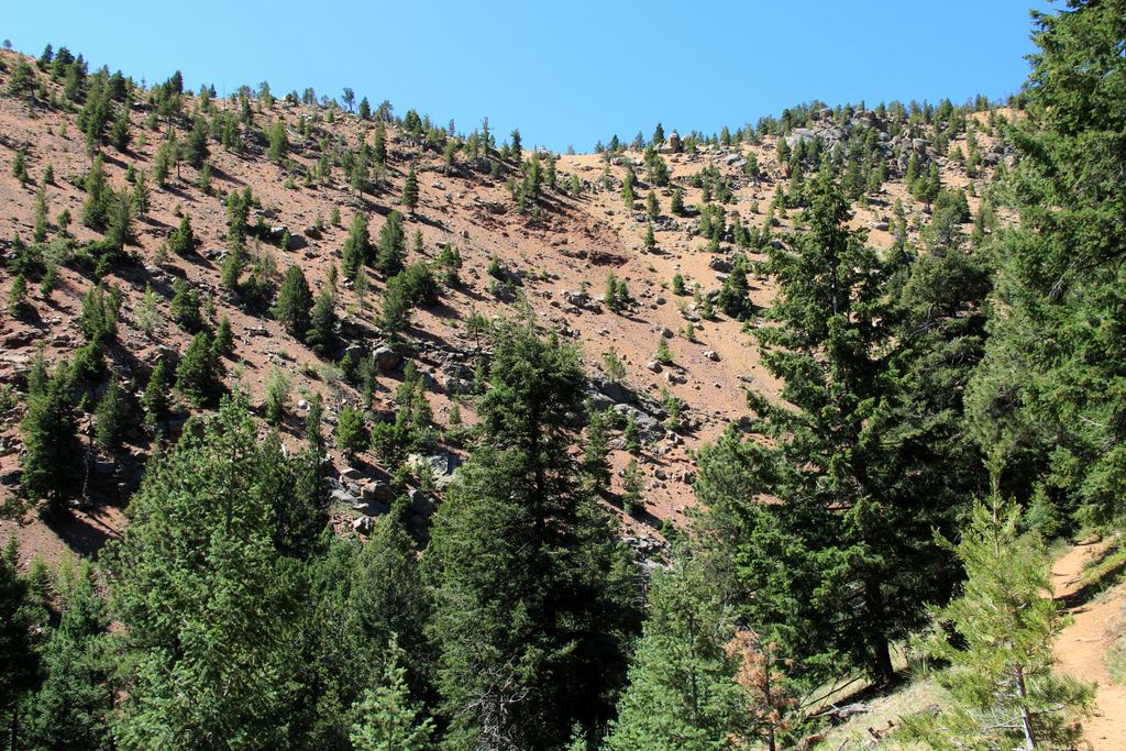
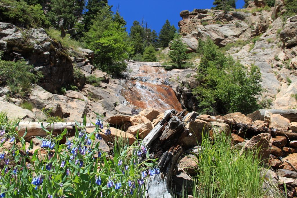
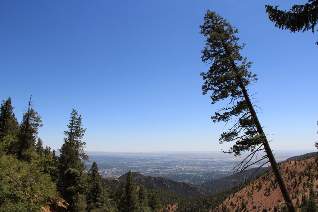
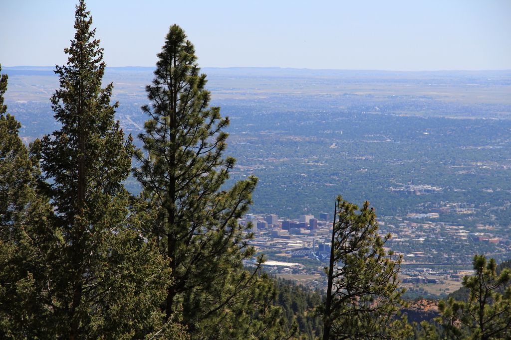
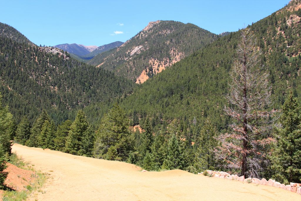
For the first mile the trail follows Gold Camp Road making a 180 degree turn. A detour takes you around the collapsed tunnel. The trail then continues along a creek through the Buffalo Canyon.
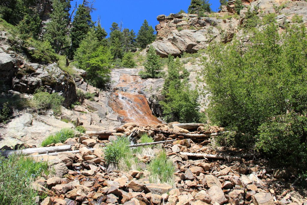
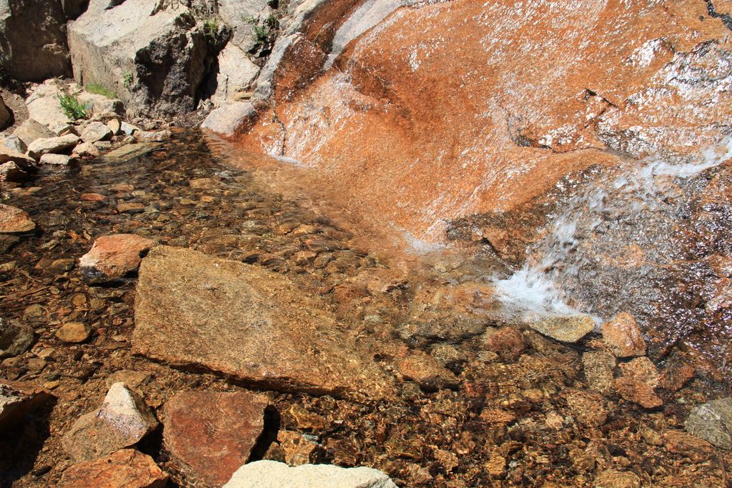
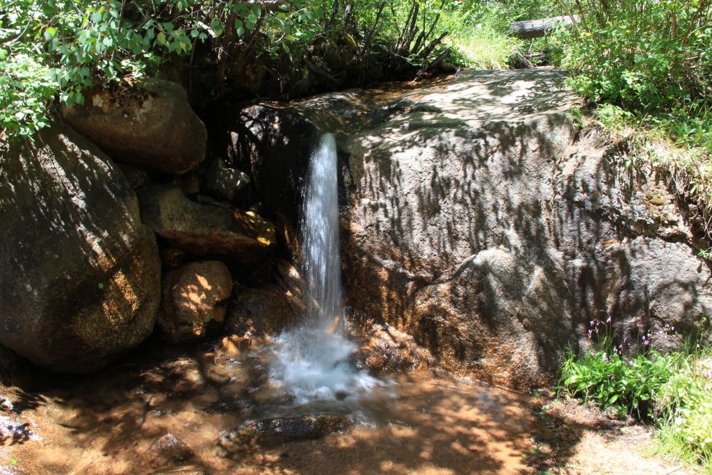
After about 1.7 miles you will reach the sign pointing to the base of the St Marys' Falls. Enjoy the falls and if you feel like it continue up through several switchbacks to the top of the falls along the trail leading to Mount Rosa.
Distance: 6.2 miles roundtrip
Directions: Driving south on I-25 take exit 140 to access Cheyenne Canyon. Drive all the way past Helen Hunt falls until you reach parking lot at the intersection with Gold Camp Road
Map
Gallery


Comments: Have you hiked this trail? Please leave your review / comments / updates or photos.
Additional Resources
- GPX File
Universal GPS Format - KMZ File
For Google Earth - Full Screen Map
Trail Map and Photos - Topo Map
Topographic Map - Google Photos
External Image Gallery - Directions
Directions to the trailhead - Geocaches
Nearby Geocaches