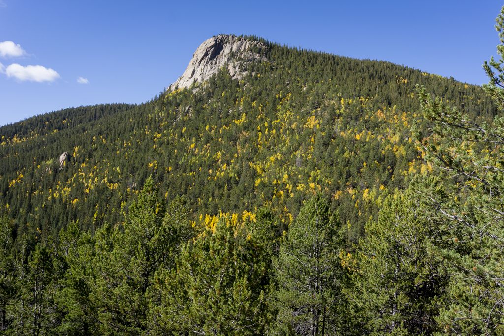
Raspberry Mountain
Raspberry Mountain (10605 ft / 3232 m) rises south of the town of Divide facing the northwest slope of Pikes Peak. It's an easy to moderate hike that offers outstanding views in all directions.
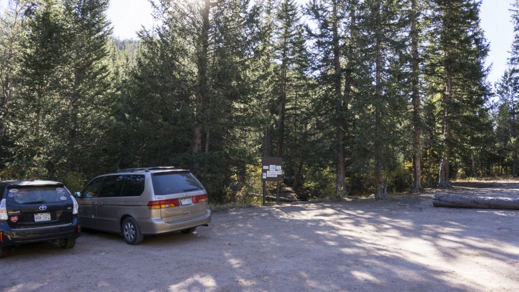
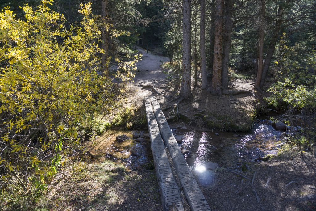
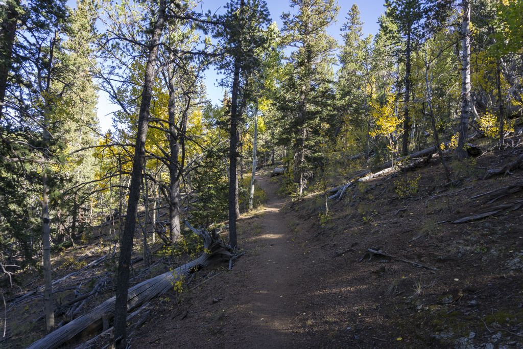
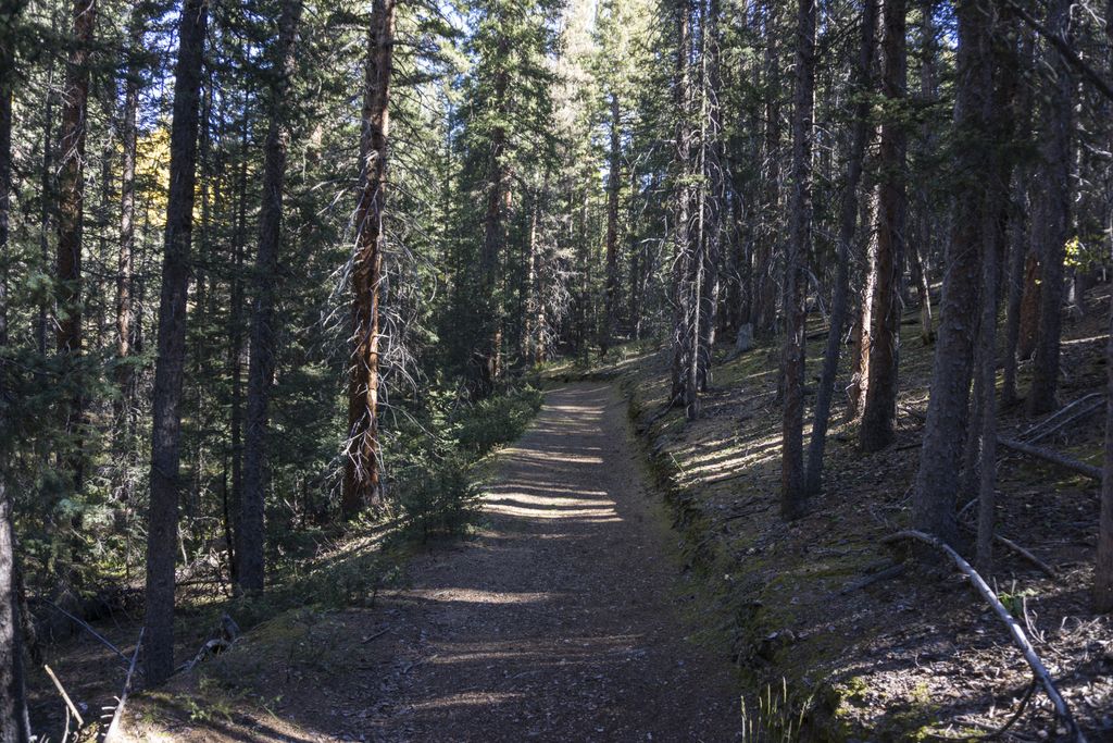
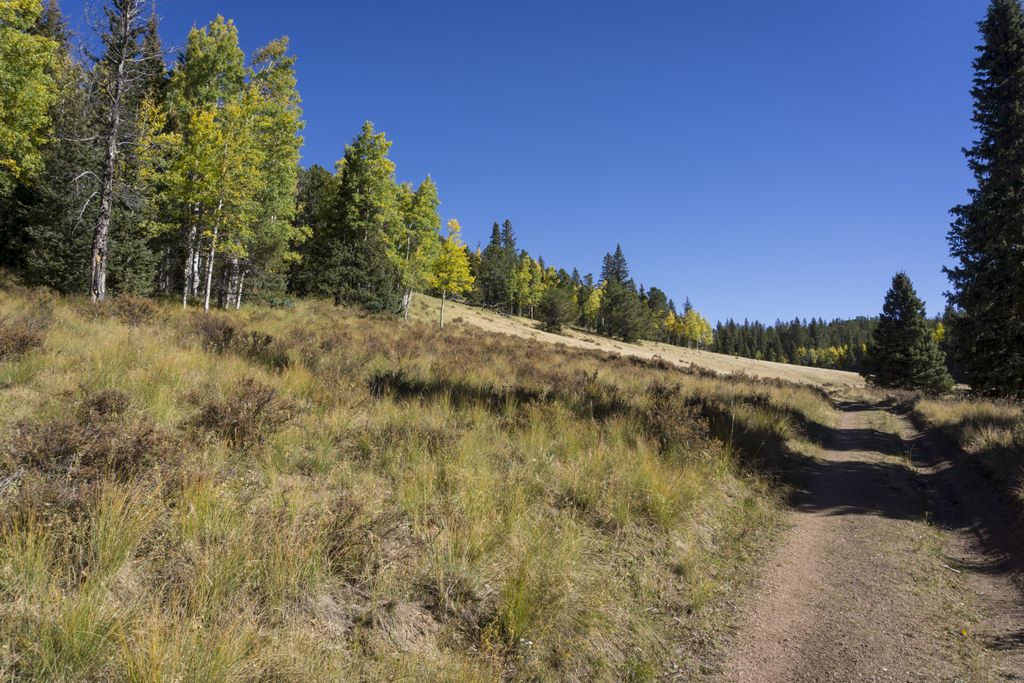
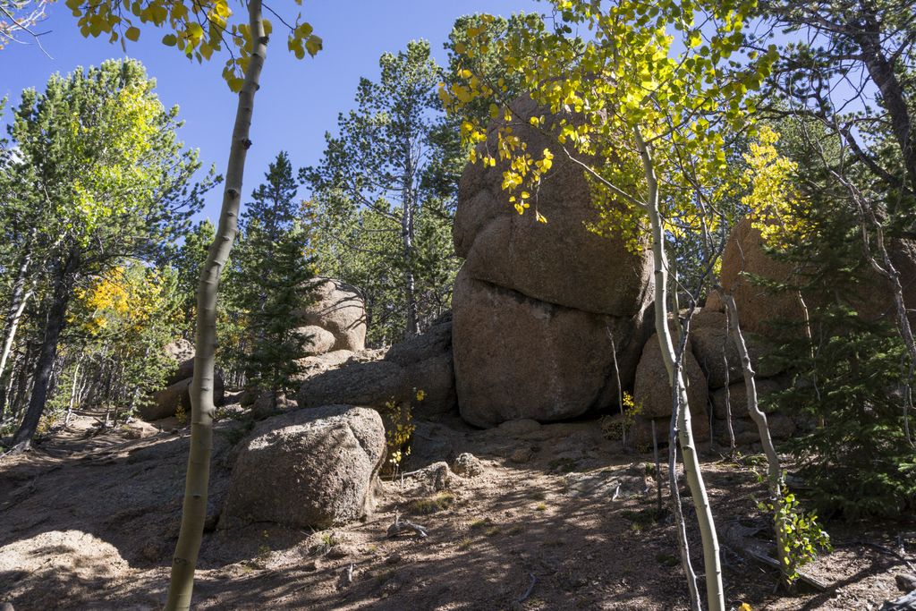
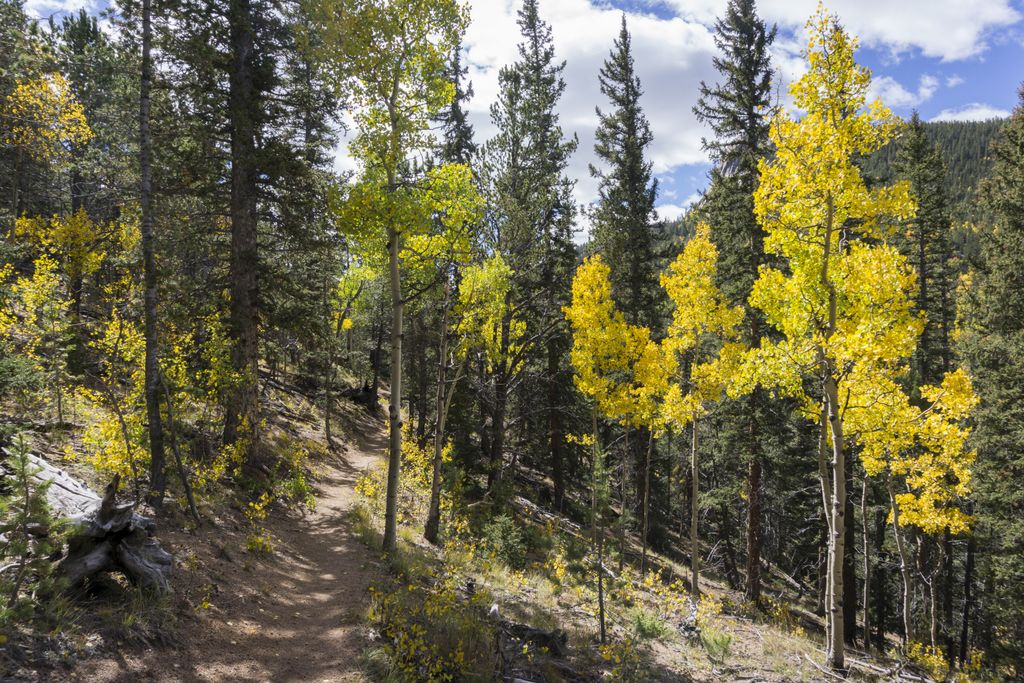
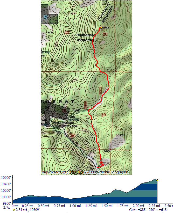
The trailhead for this hike has been moved in 2016 due to property concerns further down the road and the route now follow Ring The Peak Trail for the first mile and half. After crossing the creek at the parking you will quickly gain elevation via few switchbacks. The trail goes straight north through a pleasant pine forest. After you cross another small creek turn right on the forest road. You will pass through a small open meadow and after a small climb you will reach a point where you leave Ring The Peak Trail. The spot is marked by several wooden posts in the ground but can be easy to miss. From now on it's less than a mile uphill to the summit, with a short descent into a saddle before the final push.
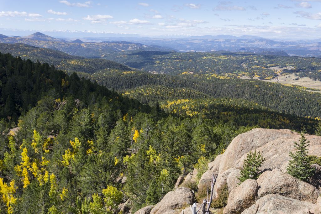
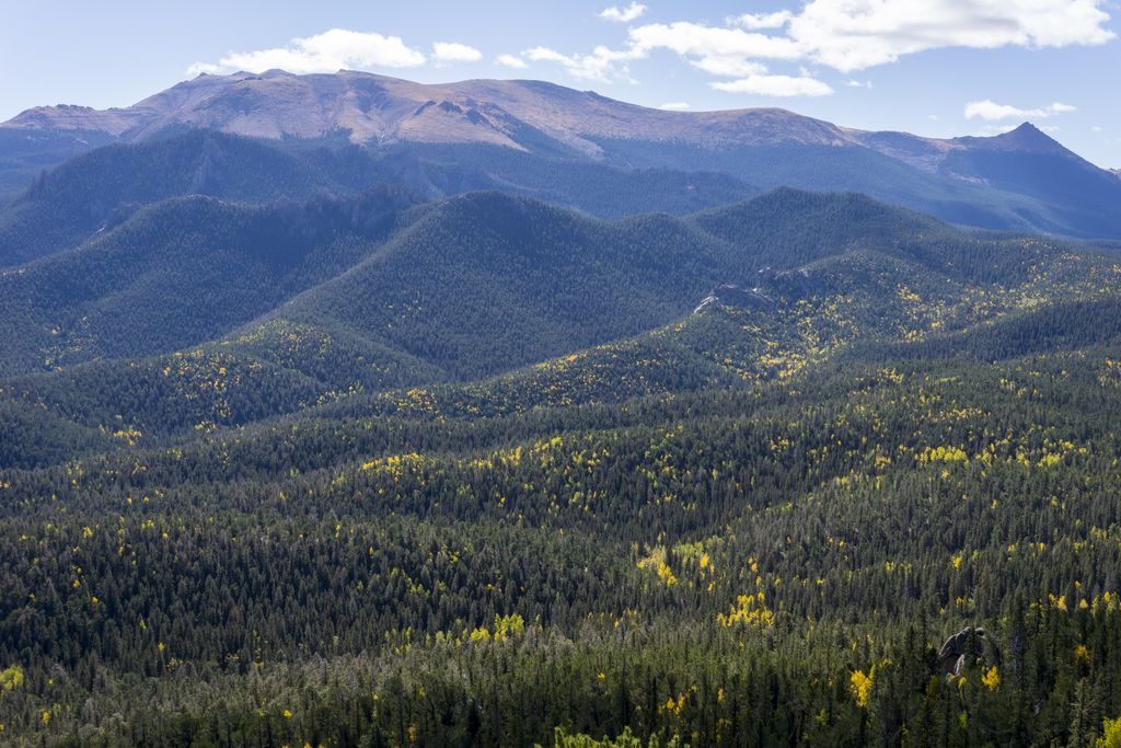
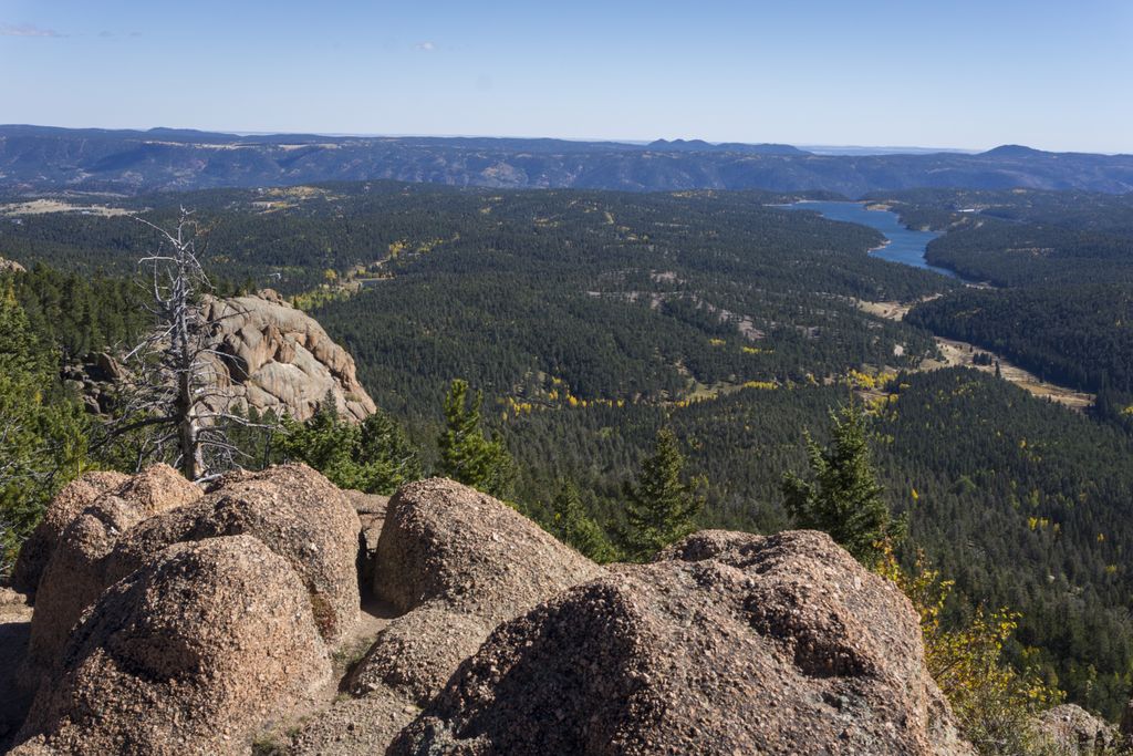
At the top keep left and find the best way up those huge boulders. Enjoy 360 degrees views that include Sawatch Range, Sangre De Cristo Mountains, Pikes Peak and Catamount Reservoirs.
Distance: 4.6 miles round trip.
Directions: Take US24 west and turn left at the traffic light in Divide. Drive about 4 miles south. Right after you pass the entrance to Mueller State park turn left to CR-62. Drive 2.5 miles on the dirt road and the trailhead parking will be on your left.
Map
Gallery

Comments: Have you hiked this trail? Please leave your review / comments / updates or photos.
Additional Resources
- GPX File
Universal GPS Format - KMZ File
For Google Earth - Full Screen Map
Trail Map and Photos - Topo Map
Topographic Map - Google Photos
External Image Gallery - Directions
Directions to the trailhead - Geocaches
Nearby Geocaches