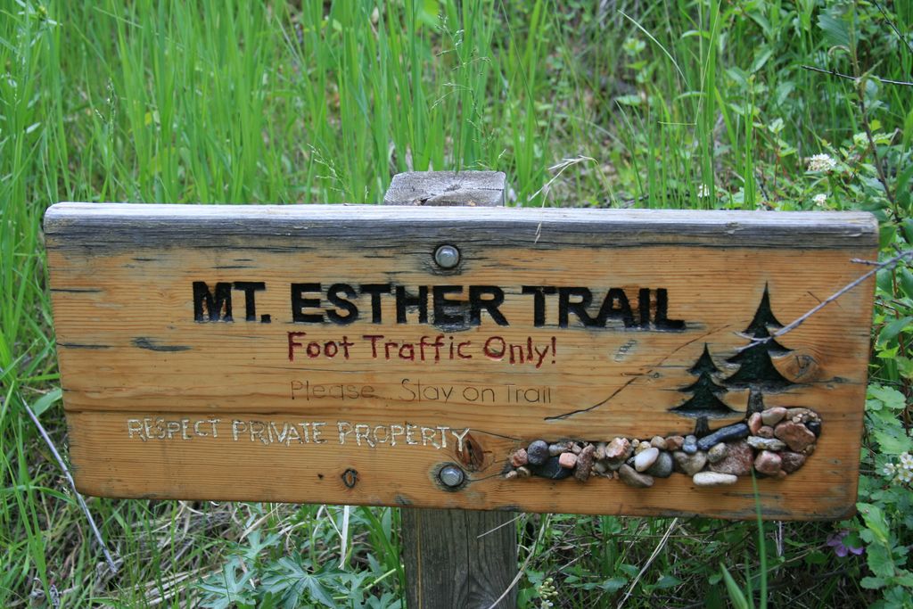
Mt.Esther / Crowe Gulch Trails
Mt.Esther trail is a part of Ring the Peak trail system.
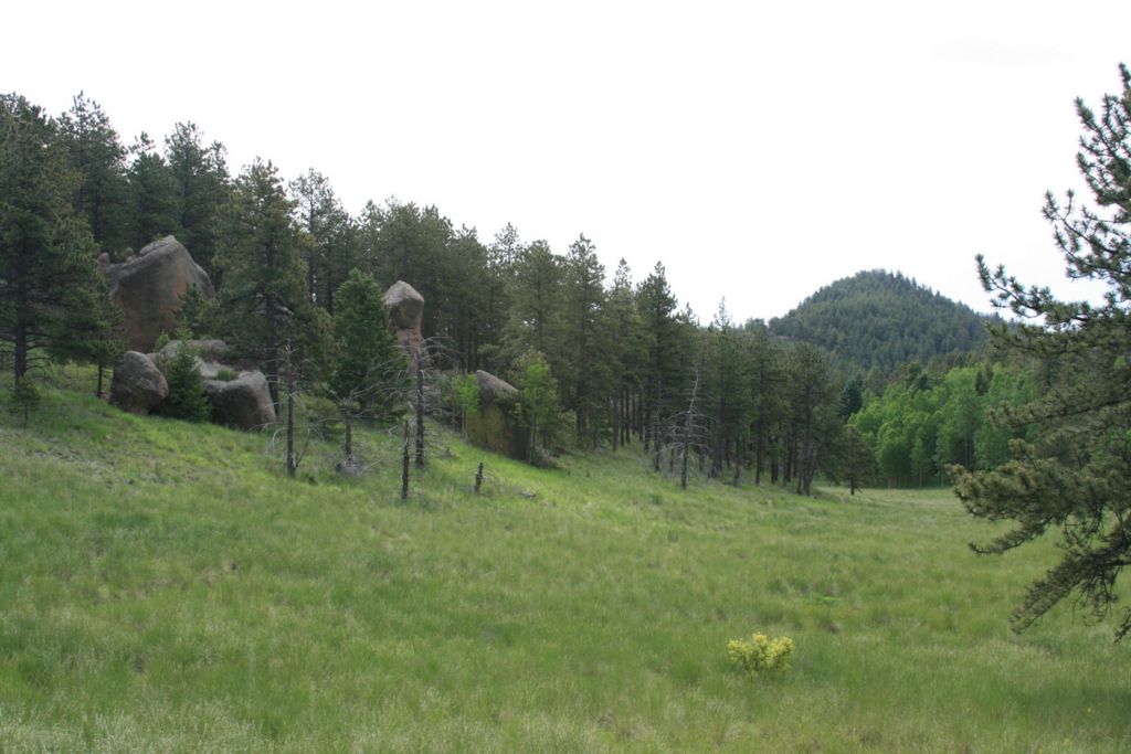
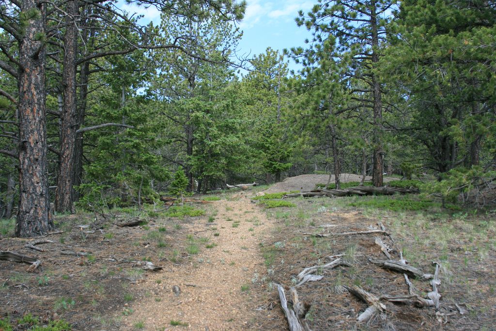
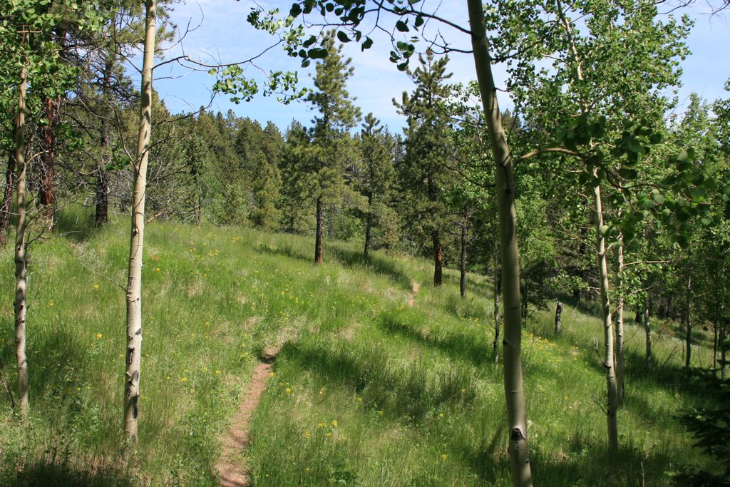
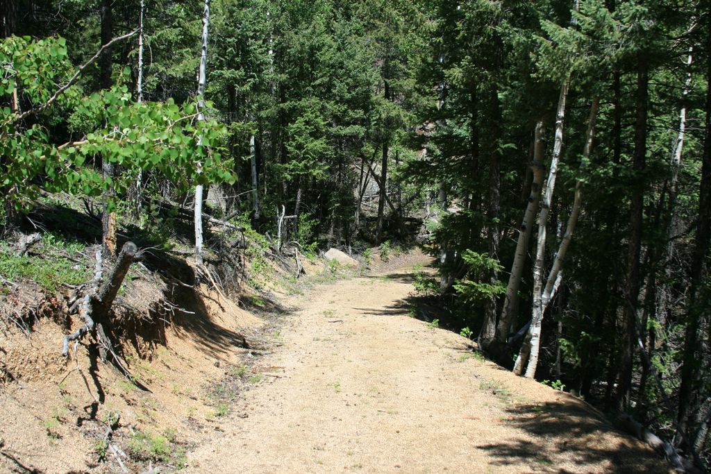
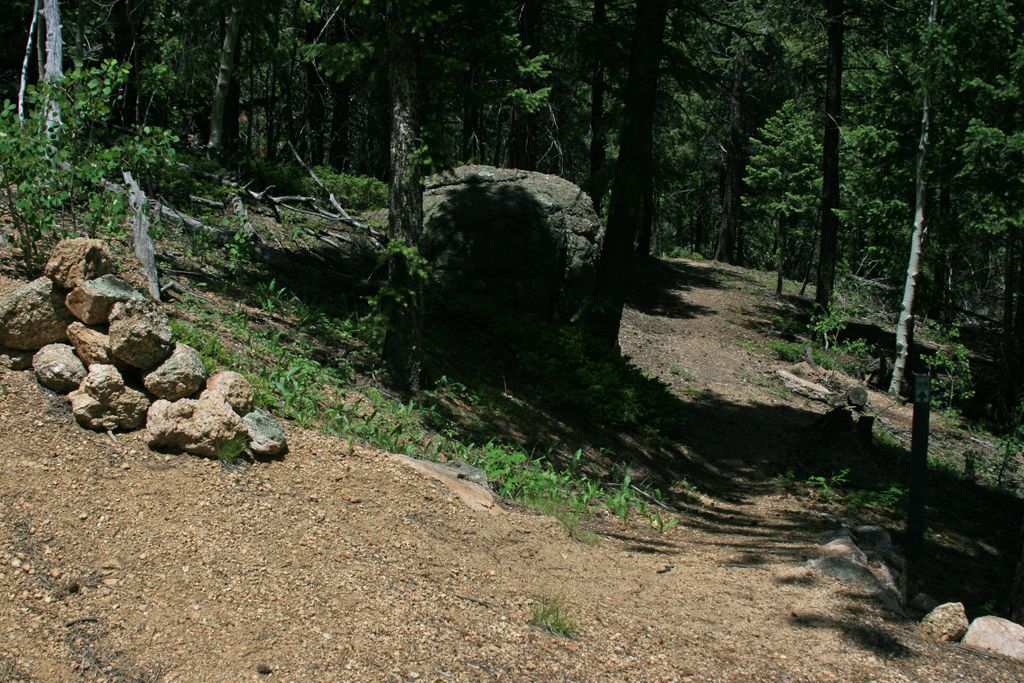
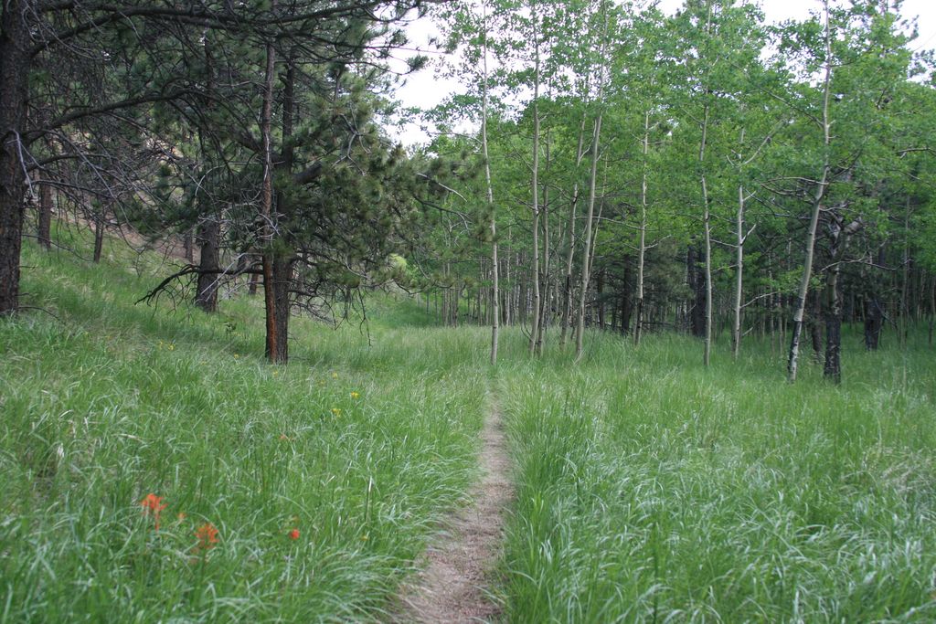
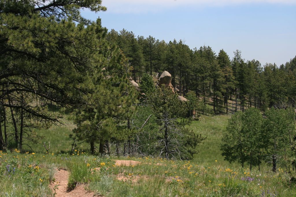
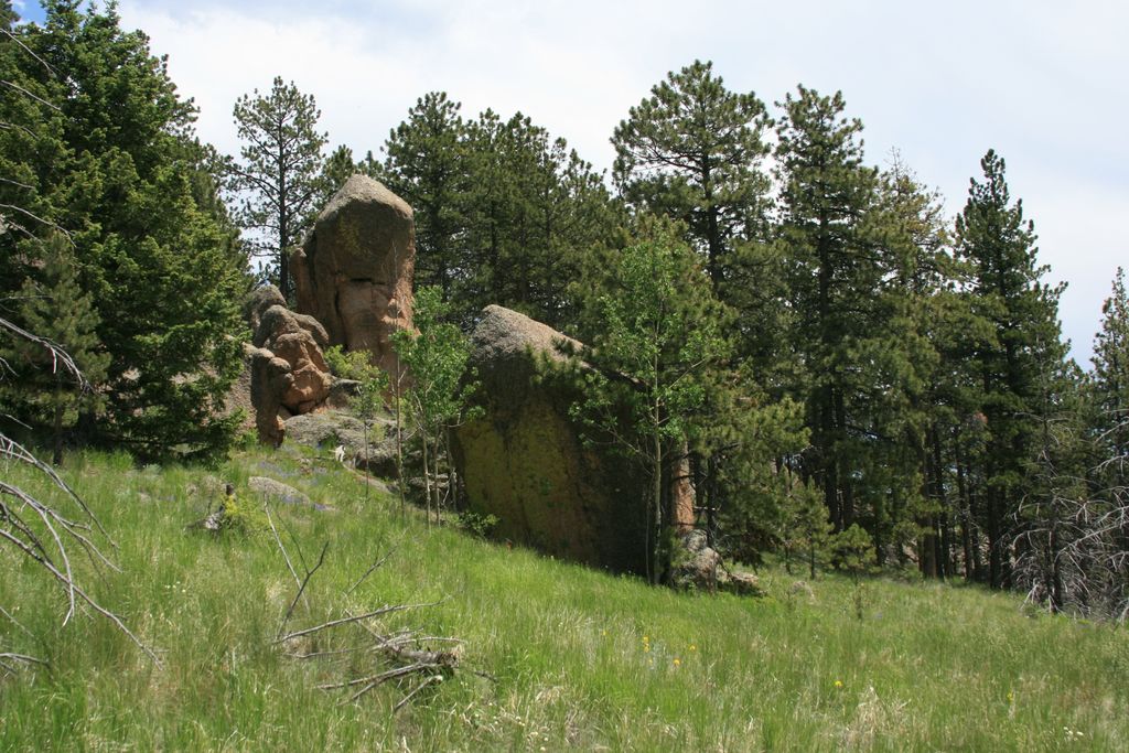
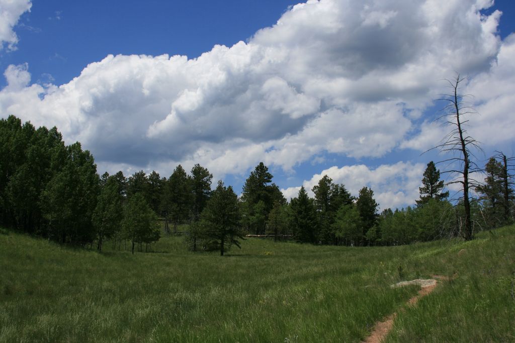
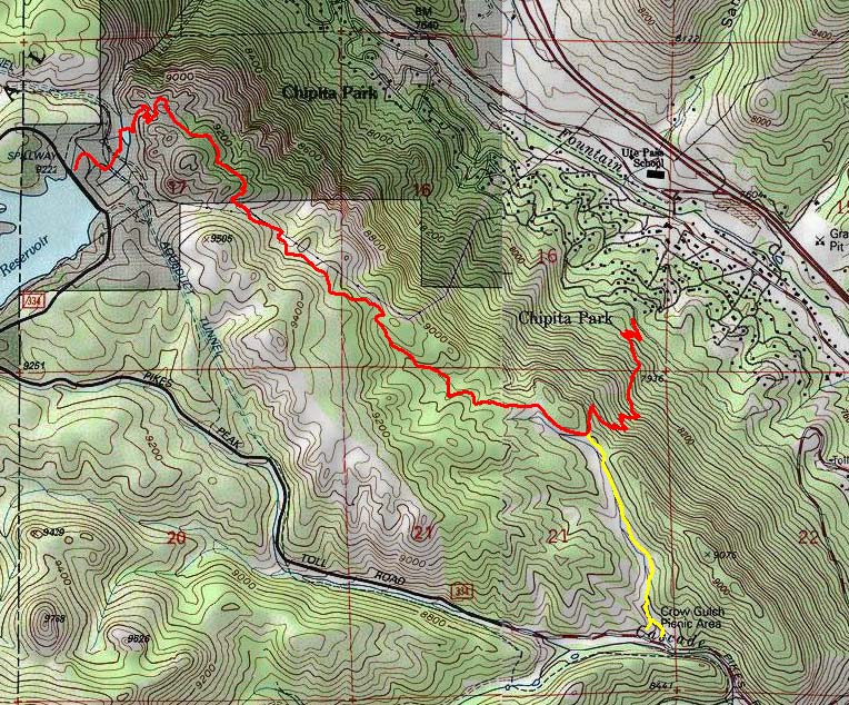
Starting from Chipita Park it climbs up steeply through series of switchbacks for just under a mile. Once you reach the top you will enter a nice mountain meadow. Turn right and continue through a mostly flat area passing through a mixed forest. After about a mile you will continue on a forest road following the power lines.
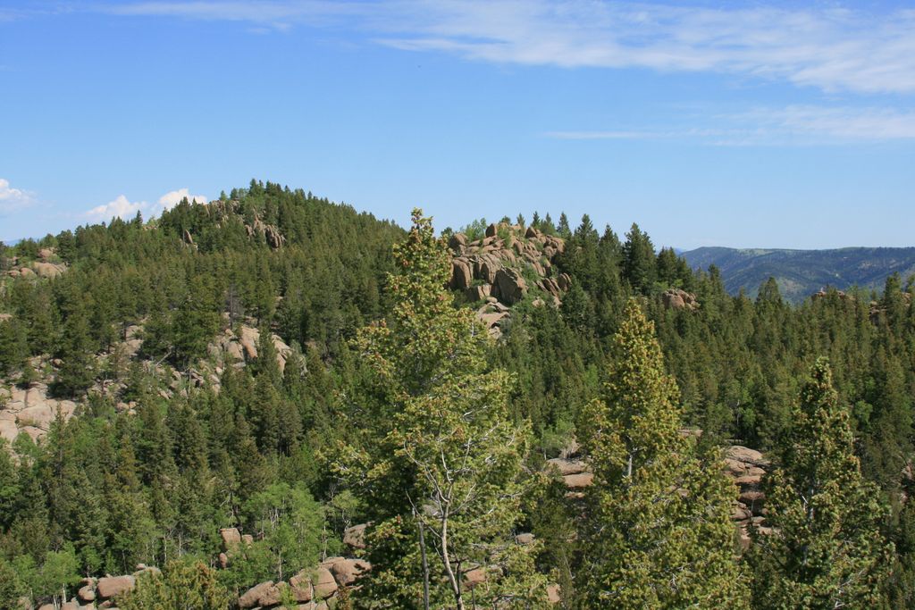
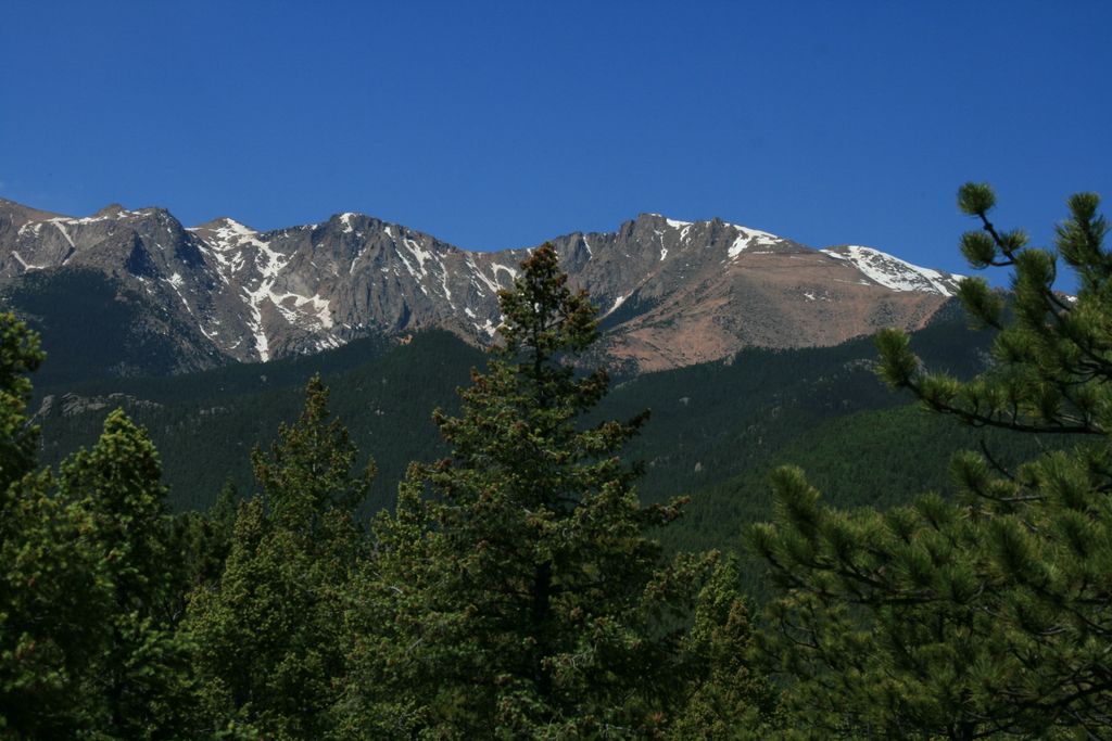
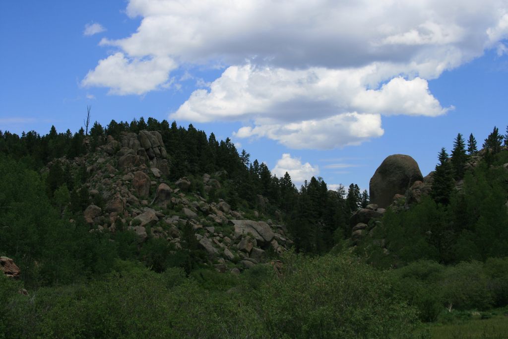
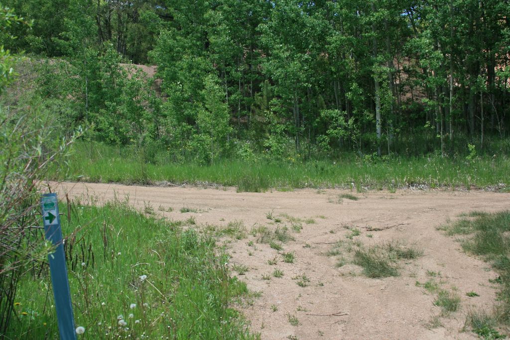
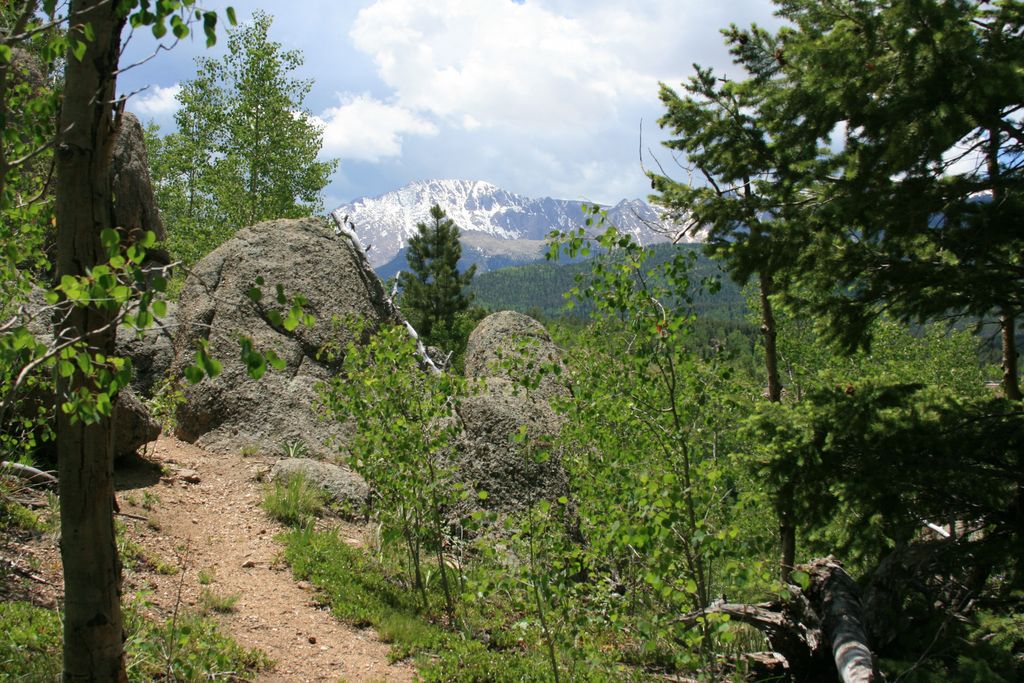
Watch out for a cairn and a sign that marks the spot where you exit the forest road on the right side. The final segment of the trail passes through a rocky area eventually opening up to a great view of Pikes Peak to the south. After descending down the hill you will arrive at more Ring the Peak markers. You can either follow those and continue north to the Catamount reservoirs or just go on another quarter of a mile to the Crystal reservoir which makes a good turning point. There are number of other trails in the North Slope Recreation Area.
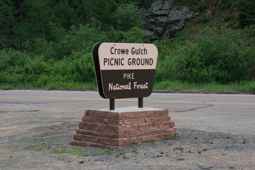
Crowe Gulch trail starts at the picnic area off the Pikes Peak highway about 1.8 miles up from the toll gate. When paying the toll make sure to mention that you are not going all the way up to get a lower price. The trail is about 3/4 of a mile long and is a pleasant walk through a grassy meadow climbing gently up to a spot where it connects with Mt.Esther trail.
Distance: Mt.Esther trail to Crystal Creek Reservoir 7 miles round trip. Crowe Gulch 1.4 miles round trip.
Directions: For Mt.Esther trail head take US-24 west. Exit at the traffic light in Cascade. Take Fountain Ave but keep right at the Pikes Peak Highway sign. Drive 1.5 miles on Chipita Park Rd and then turn left on Picabo Rd. Turn left on Mountain road. The parking for trail head will be on the right side of the dirt road, near the intersection of Mountain Rd and Picabo Rd.
Map
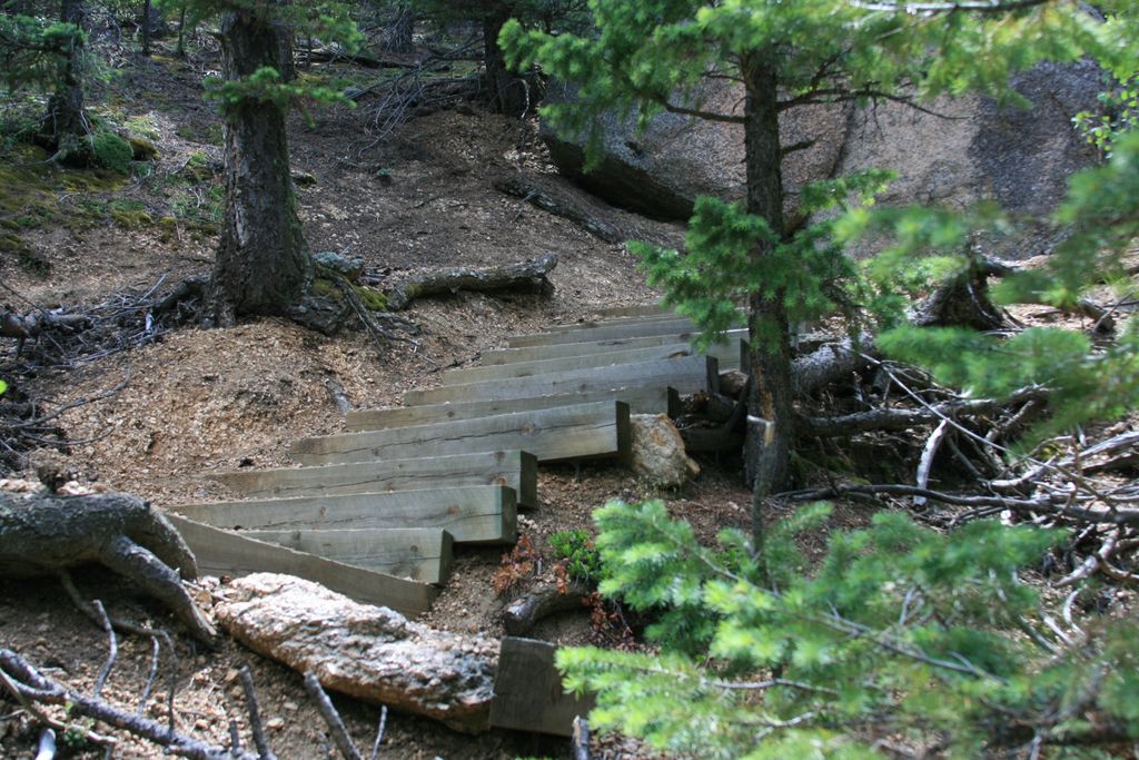
Gallery


Comments: Have you hiked this trail? Please leave your review / comments / updates or photos.
Additional Resources
- GPX File
Universal GPS Format - KMZ File
For Google Earth - Full Screen Map
Trail Map and Photos - Topo Map
Topographic Map - Google Photos
External Image Gallery - Directions
Directions to the trailhead - Geocaches
Nearby Geocaches