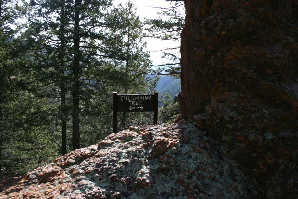
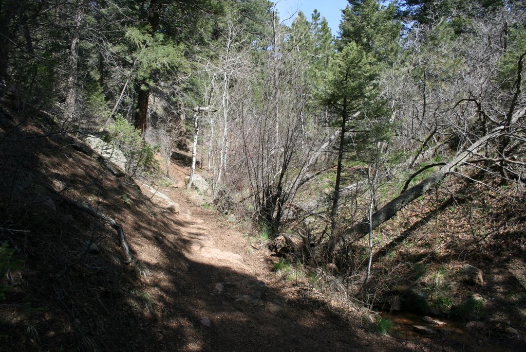
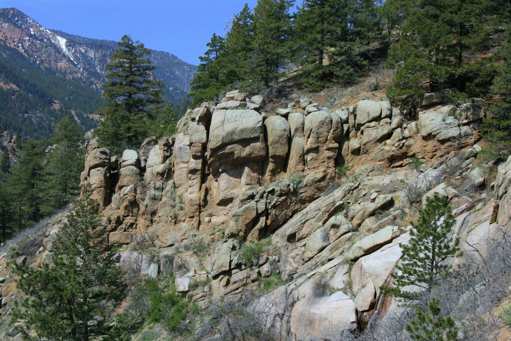
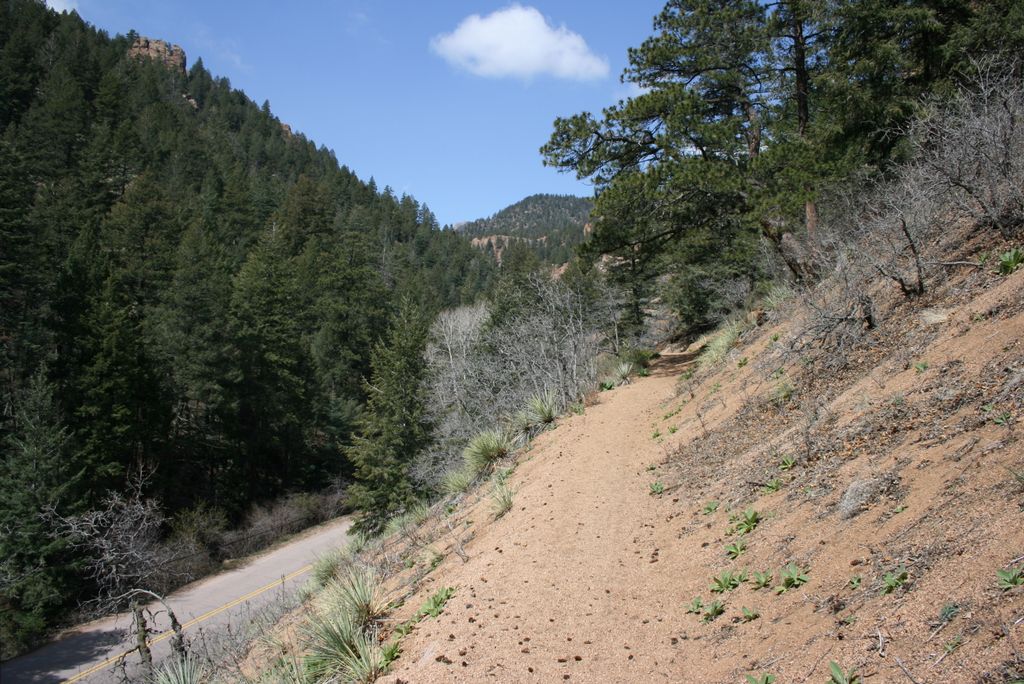
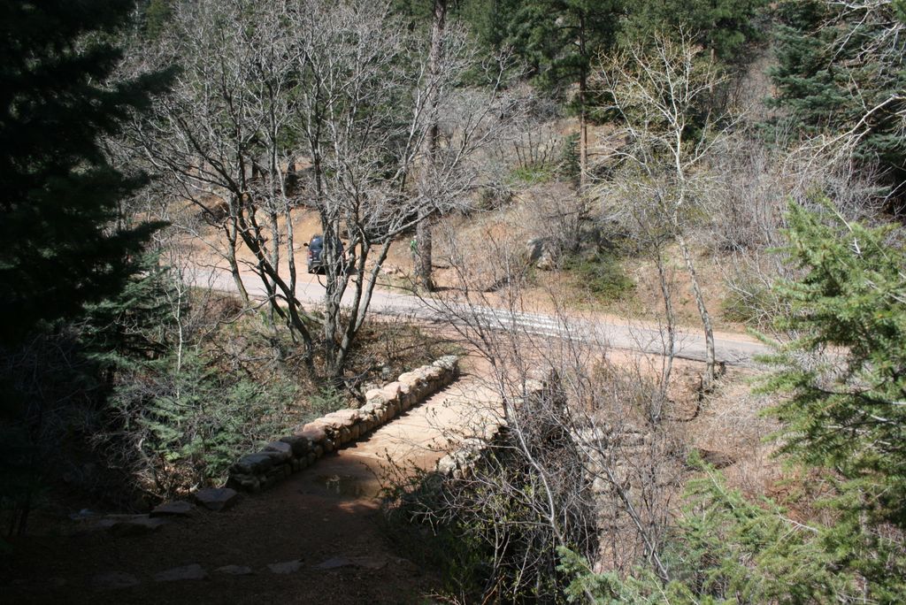
Columbine Trail
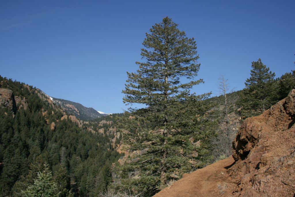
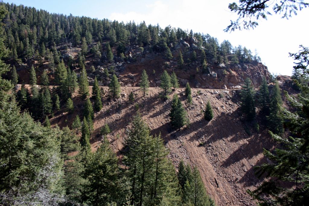
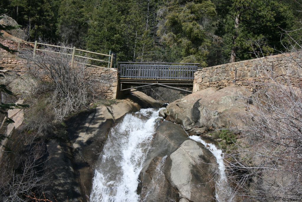
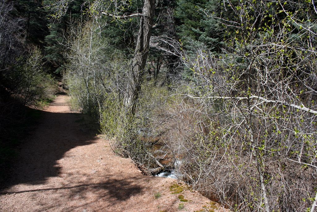
Columbine trail winds through the Cheyenne Canyon starting at the east end of the canyon and ending by Helen Hunt Falls.
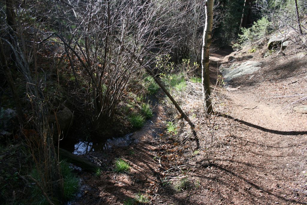
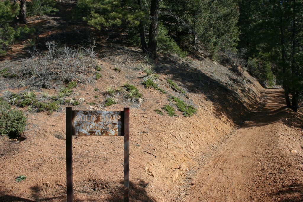
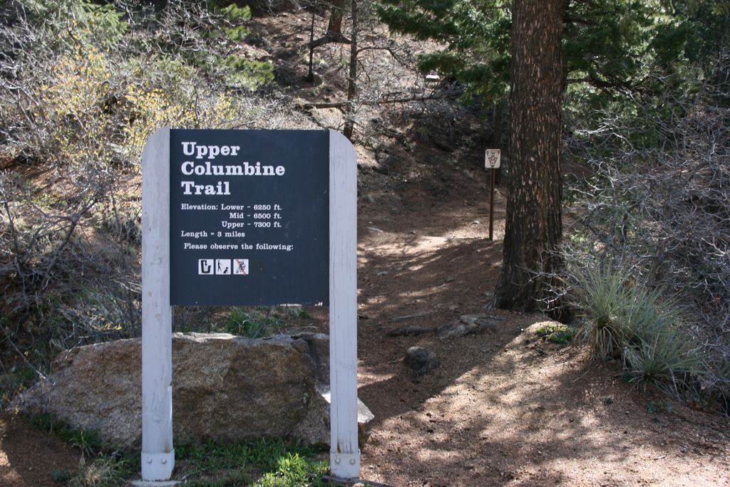
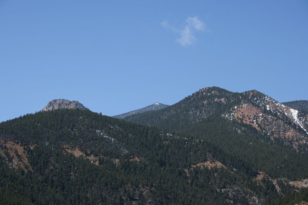
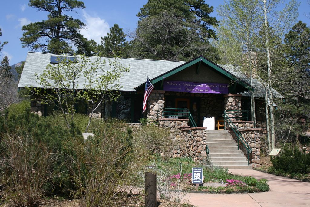
There are three trailheads (Lower, Mid and Upper), all accessible from the main road so you can start at different points. To hike the full distance start from the Lower Trailhead located behind the Starsmore Discover Center. For the first mile the trail follows the road through but once you reach the Mid Trailhead it climbs up the north side of the canyon. Enjoy the views along the way until you reach the end of the trail just above the Helen Hunt Falls.
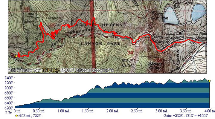
Distance: 4 miles one way.
Directions: Coming south on I-25 take exit 140 and get on Cheyenne Blvd via S Tejon St. Drive all the way until you reach Cheyenne Canyon. Park by the Starsmore Discovery Center.
Map
Gallery


Comments: Have you hiked this trail? Please leave your review / comments / updates or photos.
Additional Resources
- GPX File
Universal GPS Format - KMZ File
For Google Earth - Full Screen Map
Trail Map and Photos - Topo Map
Topographic Map - Google Photos
External Image Gallery - Directions
Directions to the trailhead - Geocaches
Nearby Geocaches