Centennial Trail
Centennial Trail (#669) is a paved biking trail that runs along Highway 67 north of Woodland Park.
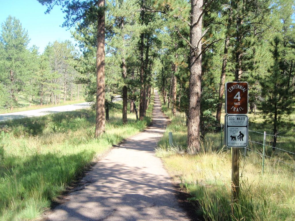
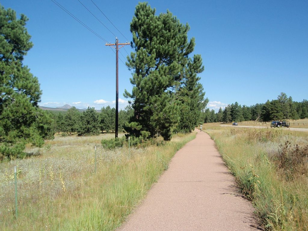
At first the trails goes downhill through the town of Woodland Park for about 1.5 miles but soon you will be out in open country with a mix of meadows and forest. The trail follows the highway on the east side for about 5 miles, then it goes under the highway and switches sides.
Manitou Lake picnic area marks the end of the ride. You can circle the lake on a short Manitou Lake Trail (#670) and enjoy the views. Centennial trail goes downhill the whole time if you travel north so you might also consider doing one way downhill ride starting at the lake but remember that there is an entrance fee for vehicles.
Distance: 14.8 miles round trip. Manitou Lake Trail - 0.7 miles loop
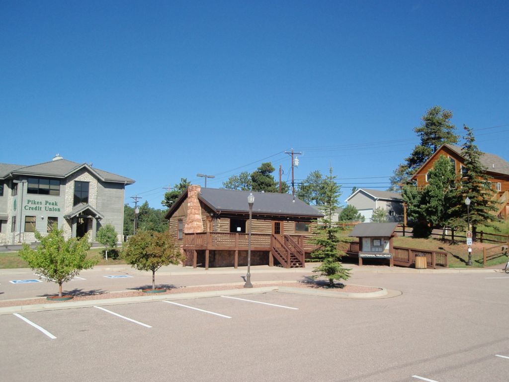
Directions: Take US-24 west. In downtown Woodland Park turn right on Elm St and then immediately left on Midland Ave. The trailhead will be on your right side at the Visitors Center.
Map
Gallery


Comments: Have you hiked this trail? Please leave your review / comments / updates or photos.
Additional Resources
- GPX File
Universal GPS Format - KMZ File
For Google Earth - Full Screen Map
Trail Map and Photos - Topo Map
Topographic Map - Google Photos
External Image Gallery - Directions
Directions to the trailhead - Geocaches
Nearby Geocaches